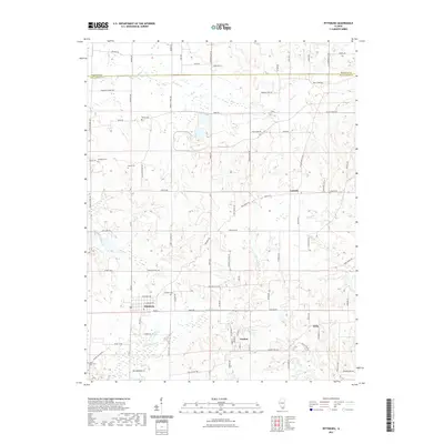
2021 Map of Pittsburg
USGS Topo · Published 2021About this map
Pittsburg serves as a primary hub for this portion of Williamson County, where the street grid transitions into a network of rural roads that cross the southern Illinois landscape. The geography is defined by the winding course of Crab Orchard Cr and its tributaries, including Lake Cr and Pond Cr, which historically influenced the placement of early settlements and agricultural boundaries. Small communities such as Paulton and Attila are situated along these routes, often near significant local landmarks like Cross Road Cem. Genealogists will find a concentration of family and community burial sites, from the centrally located Sanders Cem to the outlying Stilley Cem and Murphey Cem. The map documents a landscape where traditional road names like Galatia Post Rd and New Ohio Coal Rd hint at the region's historical postal routes and coal mining origins.
Find a feature on this map
48 named features on this map. Tap any name to fly to it.
Don’t see what you’re looking for? This feature index may not catch every label — zoom into the map to look around manually.
Map Details
Editions of this 2021 Pittsburg Map
This is the sole edition of this map. No revisions or reprints were ever made.
Other maps of this area

1908 · Galatia
USGS Topo · 1:62,500

1909 · West Frankfort
USGS Topo · 1:62,500

1925 · Marion
USGS Topo · 1:62,500

1925 · Harrisburg
USGS Topo · 1:62,500

1938 · Galatia
USGS Topo · 1:62,500

1939 · Harrisburg
USGS Topo · 1:62,500

1940 · Marion
USGS Topo · 1:62,500

1941 · West Frankfort
USGS Topo · 1:62,500

1949 · Paducah
USGS Topo · 1:250,000

1950 · Paducah
USGS Topo · 1:250,000