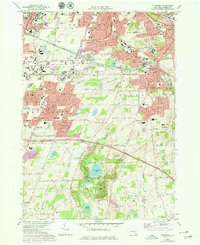
1971 Map of Pittsford
USGS Topo · Published 1978About this map
The Erie Canal cuts an industrial and historic path through the eastern half of this landscape, passing through Pittsford and past the Carterville Guard Gate. Suburban expansion in the early 1970s is evident across the townships of Brighton and Henrietta, where institutional landmarks like the State Hospital, Monroe Community College, and the County Fairgrounds anchor the growing communities.
Find a feature on this map
77 named features on this map. Tap any name to fly to it.
Don’t see what you’re looking for? This feature index may not catch every label — zoom into the map to look around manually.
Map Details
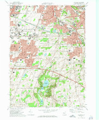
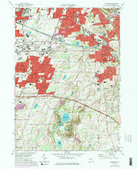
Editions of this 1971 Pittsford Map
Other maps of this area

1895 · Rochester
USGS Topo · 1:62,500

1898 · Rochester
USGS Topo · 1:62,500

1900 · Macedon
USGS Topo · 1:62,500

1900 · Canandaigua
USGS Topo · 1:62,500

1901 · Honeoye
USGS Topo · 1:62,500

1903 · Canandaigua
USGS Topo · 1:62,500

1904 · Honeoye
USGS Topo · 1:62,500

1912 · Rochester
USGS Topo · 1:62,500

1920 · Rochester
USGS Topo · 1:62,500

1931 · Mendon Ponds
USGS Topo · 1:24,000