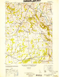
1952 Map of Pittstown
USGS Topo · Published 1952About this map
Cakepoulin Creek flows through the center of this Hunterdon County landscape, where small agricultural hamlets and crossroads define the rural character of the early 1940s. The northern reaches are shaped by the Lehigh Valley railroad and its Clinton Branch, connecting settlements like Lansdowne and Sidney to the regional rail economy. Social and civic life is anchored by a network of local institutions, from the Oakgrove Grange Hall to various rural schoolhouses including the Independence School and Summit School.
Find a feature on this map
51 named features on this map. Tap any name to fly to it.
Don’t see what you’re looking for? This feature index may not catch every label — zoom into the map to look around manually.
Map Details
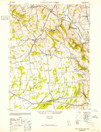
Editions of this 1952 Pittstown Map
2 editions found
Other maps of this area

1890 · Easton
USGS Topo · 1:62,500

1890 · High Bridge
USGS Topo · 1:62,500

1890 · Lambertville
USGS Topo · 1:62,500

1890 · Doylestown
USGS Topo · 1:62,500

1891 · Easton
USGS Topo · 1:62,500

1891 · Lambertville
USGS Topo · 1:62,500

1891 · Doylestown
USGS Topo · 1:62,500

1894 · Lambertville
USGS Topo · 1:62,500

1898 · High Bridge
USGS Topo · 1:62,500

1900 · Raritan
USGS Topo · 1:125,000