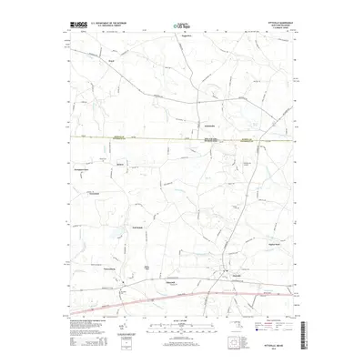
2014 Map of Pittsville
USGS Topo · Published 2014About this map
Pittsville and Parsonsburg anchor this 2014 survey of the Maryland-Delaware border region, where the industrial poultry landscape meets the drainage basins of the Nassawango Cr and Aydelotte Br. The map illustrates the transition from traditional crossroad settlements like Melson and Whitesville to more modern developments such as Hampton Court and East Winds. A clear division is marked by the Delaware-Maryland state line, which also serves as the boundary between Sussex and Wicomico counties.
Find a feature on this map
43 named features on this map. Tap any name to fly to it.
Don’t see what you’re looking for? This feature index may not catch every label — zoom into the map to look around manually.
Map Details
Editions of this 2014 Pittsville Map
This is the sole edition of this map. No revisions or reprints were ever made.
Other maps of this area

1901 · Salisbury
USGS Topo · 1:62,500

1902 · Pittsville
USGS Topo · 1:62,500

1915 · Seaford
USGS Topo · 1:62,500

1917 · Millsboro
USGS Topo · 1:62,500

1938 · Millsboro
USGS Topo · 1:62,500

1942 · Ninepin
USGS Topo · 1:24,000

1942 · Wango
USGS Topo · 1:24,000

1942 · Whaleysville
USGS Topo · 1:24,000

1942 · Salisbury
USGS Topo · 1:24,000

1942 · Delmar
USGS Topo · 1:24,000