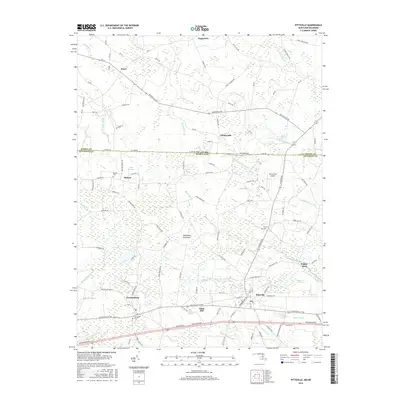
2016 Map of Pittsville
USGS Topo · Published 2016About this map
Pittsville and Parsonsburg anchor this segment of the Delmarva Peninsula, where the Maryland-Delaware state line bisects rural communities. The map captures the agricultural and residential transition of the region, marked by numerous small stream prongs and drainage ditches such as Hamlin Ditch and Aydelotte Br. Cultural landmarks are frequent, including several family and community burial grounds like Melson Cem and Farlows Cem, which offer significant value for genealogical research.
Find a feature on this map
115 named features on this map. Tap any name to fly to it.
Don’t see what you’re looking for? This feature index may not catch every label — zoom into the map to look around manually.
Map Details
Editions of this 2016 Pittsville Map
This is the sole edition of this map. No revisions or reprints were ever made.
Other maps of this area

1901 · Salisbury
USGS Topo · 1:62,500

1902 · Pittsville
USGS Topo · 1:62,500

1915 · Seaford
USGS Topo · 1:62,500

1917 · Millsboro
USGS Topo · 1:62,500

1938 · Millsboro
USGS Topo · 1:62,500

1942 · Ninepin
USGS Topo · 1:24,000

1942 · Wango
USGS Topo · 1:24,000

1942 · Whaleysville
USGS Topo · 1:24,000

1942 · Salisbury
USGS Topo · 1:24,000

1942 · Delmar
USGS Topo · 1:24,000