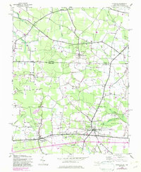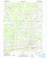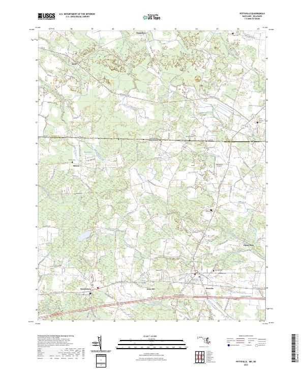
2023 Map of Pittsville
USGS Topo · Published 2023About this map
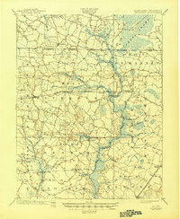
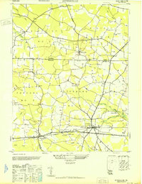
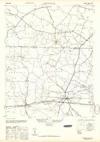
Pittsville and Parsonsburg anchor the southern reaches of this Maryland-Delaware borderlands survey, situated along the historic transit corridor of the Ocean Gateway. The landscape is defined by an intricate network of drainage ditches and branches that manage the low-lying terrain, such as Campbell Ditch and Hamlin Ditch. These waterways thread through extensive wetlands including Jack White Swamp and Hamlin Swamp, illustrating the persistent challenge of reclaiming agricultural land from the coastal plain.
Find a feature on this map
97 named features on this map. Tap any name to fly to it.
Don’t see what you’re looking for? This feature index may not catch every label — zoom into the map to look around manually.
Map Details
Editions of this 2023 Pittsville Map
This is the sole edition of this map. No revisions or reprints were ever made.
Historical Maps of Melson Through Time
6 maps found