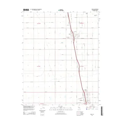
2015 Map of Pixley
USGS Topo · Published 2015About this map
Pixley and Earlimart anchor this portion of the San Joaquin Valley, situated within the expansive agricultural landscape of the Central Valley. The map reveals a highly structured grid of section lines and rural roads, such as Avenue 112 and Avenue 56, which define the region's land use. Flowing through the center of the quadrangle is Deer Creek, a significant hydrological feature that cuts through the surrounding farm plots. In Earlimart, a more concentrated street network emerges with residential and commercial alignments along W Washington Ave and Armstrong Ave. The map captures the intersection of intensive irrigation-based agriculture and the primary transportation corridors that facilitate movement through this productive section of Tulare County.
Find a feature on this map
44 named features on this map. Tap any name to fly to it.
Don’t see what you’re looking for? This feature index may not catch every label — zoom into the map to look around manually.
Map Details
Editions of this 2015 Pixley Map
This is the sole edition of this map. No revisions or reprints were ever made.
Other maps of this area

1925 · Tipton
USGS Topo · 1:31,680

1927 · Lake View School
USGS Topo · 1:31,680

1928 · Tipton
USGS Topo · 1:31,680

1928 · Woodville
USGS Topo · 1:31,680

1929 · Alpaugh
USGS Topo · 1:31,680

1929 · Delano
USGS Topo · 1:31,680

1929 · Sausalito School
USGS Topo · 1:31,680

1929 · Pixley
USGS Topo · 1:31,680

1929 · Stone
USGS Topo · 1:31,680

1929 · Allensworth
USGS Topo · 1:31,680