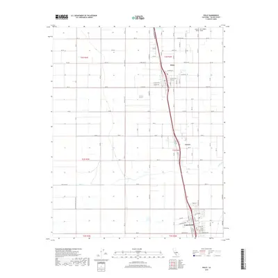
2018 Map of Pixley
USGS Topo · Published 2018About this map
Pixley and Earlimart anchor this detailed 2018 survey of the southern San Joaquin Valley, where the geometric grid of the Central Valley dictates the landscape. The area is defined by a highly structured network of agricultural roads, including Ave 112 and Ave 72, which divide the fertile plains into precise townships. A major transportation corridor runs north-south through the center of the map, connecting the primary settlements and passing through the small community of Teviston.
Find a feature on this map
46 named features on this map. Tap any name to fly to it.
Don’t see what you’re looking for? This feature index may not catch every label — zoom into the map to look around manually.
Map Details
Editions of this 2018 Pixley Map
This is the sole edition of this map. No revisions or reprints were ever made.
Other maps of this area

1925 · Tipton
USGS Topo · 1:31,680

1927 · Lake View School
USGS Topo · 1:31,680

1928 · Tipton
USGS Topo · 1:31,680

1928 · Woodville
USGS Topo · 1:31,680

1929 · Alpaugh
USGS Topo · 1:31,680

1929 · Delano
USGS Topo · 1:31,680

1929 · Sausalito School
USGS Topo · 1:31,680

1929 · Pixley
USGS Topo · 1:31,680

1929 · Stone
USGS Topo · 1:31,680

1929 · Allensworth
USGS Topo · 1:31,680