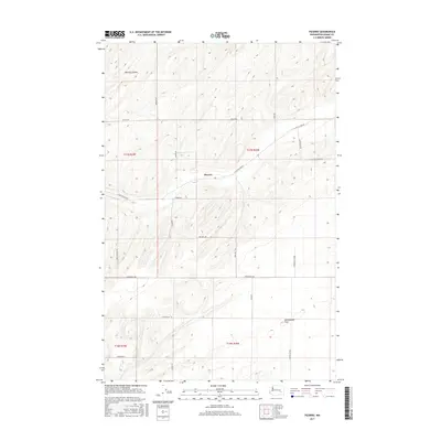
2017 Map of Pizarro
USGS Topo · Published 2017About this map
The settlement of Pizarro serves as the central point of this 2017 topographic survey in Adams County, Washington. This high-plateau landscape is defined by the agricultural grid and the distinct drainage of McElroy Coulee in the northwest. The terrain transitions into the broad expanse of Rattlesnake Flat to the southeast, illustrating the geographic character of the Inland Empire. The map details a dense network of rural infrastructure, including Hiller Rd, E Lind Ralston Rd, and Providence Rd, which connect the scattered farmsteads and sections. This modern digital survey provides a clear view of how land use and transit have evolved in the region, preserving the exact layout of family-named thoroughfares like Bauer Rd and Marcellus Rd alongside traditional township and range boundaries.
Find a feature on this map
23 named features on this map. Tap any name to fly to it.
Don’t see what you’re looking for? This feature index may not catch every label — zoom into the map to look around manually.
Map Details
Editions of this 2017 Pizarro Map
This is the sole edition of this map. No revisions or reprints were ever made.
Other maps of this area

1916 · Connell
USGS Topo · 1:125,000

1918 · Connell
USGS Topo · 1:125,000

1923 · Washtucna
USGS Topo · 1:62,500

1925 · Washtucna
USGS Topo · 1:62,500

1953 · Walla Walla
USGS Topo · 1:250,000

1953 · Ritzville
USGS Topo · 1:250,000

1958 · Walla Walla
USGS Topo · 1:250,000

1959 · Ritzville
USGS Topo · 1:250,000

1965 · Ritzville
USGS Topo · 1:250,000

1967 · Ritzville SW
USGS Topo · 1:24,000