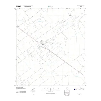
2010 Map of Placedo
USGS Topo · Published 2010About this map
Placedo stands as the central hub of this coastal prairie landscape, where the intersection of local routes and the regional industrial footprint define the area. The grid of the town site, featuring streets like Main St and College St, is situated near the Placedo Oil Field, reflecting the importance of petroleum extraction to the local economy during this era. To the northwest, the settlement of Dacosta lies along the historic corridor of Old Port Lavaca Rd, a route that hints at the long-standing transportation patterns connecting the interior with the Gulf coast.
Find a feature on this map
35 named features on this map. Tap any name to fly to it.
Don’t see what you’re looking for? This feature index may not catch every label — zoom into the map to look around manually.
Map Details
Editions of this 2010 Placedo Map
This is the sole edition of this map. No revisions or reprints were ever made.
Other maps of this area

1951 · Bloomington
USGS Topo · 1:24,000

1952 · Bloomington SW
USGS Topo · 1:24,000

1952 · Kamey
USGS Topo · 1:24,000

1952 · Port Lavaca West
USGS Topo · 1:24,000

1952 · La Salle
USGS Topo · 1:24,000

1952 · Marcado Creek
USGS Topo · 1:24,000

1952 · Placedo
USGS Topo · 1:24,000

1952 · Victoria East
USGS Topo · 1:24,000

1952 · Green Lake
USGS Topo · 1:24,000

1953 · Beeville
USGS Topo · 1:250,000