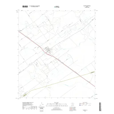
2019 Map of Placedo
USGS Topo · Published 2019About this map
Placedo sits at the heart of this coastal prairie landscape, its residential grid defined by streets like Houston St, Main St, and Commerce St. The town serves as a focal point for the surrounding agricultural region of Victoria County, situated along the historic corridor of Old Port Lavaca Rd. The terrain is characterized by a network of drainage systems that snake toward the Gulf, including the winding Placedo Creek, Ninemile Creek, and the prominent Chocolate Bayou to the south. Further northwest, the smaller settlement of Dacosta marks the edge of this survey area. The landscape shows a clear transition where the open ranchlands and farms are intersected by a definitive boundary line separating Victoria and Calhoun counties, illustrating the political and geographic divisions of the Texas coastal bend.
Find a feature on this map
45 named features on this map. Tap any name to fly to it.
Don’t see what you’re looking for? This feature index may not catch every label — zoom into the map to look around manually.
Map Details
Editions of this 2019 Placedo Map
This is the sole edition of this map. No revisions or reprints were ever made.
Other maps of this area

1951 · Bloomington
USGS Topo · 1:24,000

1952 · Bloomington SW
USGS Topo · 1:24,000

1952 · Kamey
USGS Topo · 1:24,000

1952 · Port Lavaca West
USGS Topo · 1:24,000

1952 · La Salle
USGS Topo · 1:24,000

1952 · Marcado Creek
USGS Topo · 1:24,000

1952 · Placedo
USGS Topo · 1:24,000

1952 · Victoria East
USGS Topo · 1:24,000

1952 · Green Lake
USGS Topo · 1:24,000

1953 · Beeville
USGS Topo · 1:250,000