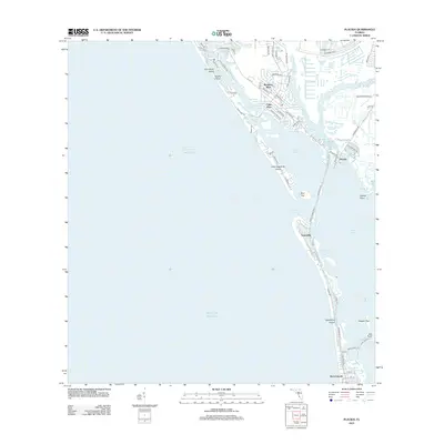
2012 Map of Placida
USGS Topo · Published 2012About this map
Boca Grande and the barrier islands of Charlotte County anchor this coastal survey, detailing the intricate geography of the Gulf coast before more recent development changed the shoreline. The map documents the residential patterns of Rotonda -West with its distinctive circular street layout including Rotonda Cir and Boundary Blvd. Along the intracoastal waters, settlements like Placida and Gasparilla serve as hubs for maritime activity near Placida Harbor and Gasparilla Sound.
Find a feature on this map
69 named features on this map. Tap any name to fly to it.
Don’t see what you’re looking for? This feature index may not catch every label — zoom into the map to look around manually.
Map Details
Editions of this 2012 Placida Map
This is the sole edition of this map. No revisions or reprints were ever made.
Other maps of this area

1956 · Englewood
USGS Topo · 1:24,000

1956 · Tampa
USGS Topo · 1:250,000

1956 · Charlotte Harbor
USGS Topo · 1:250,000

1957 · Englewood NW
USGS Topo · 1:24,000

1957 · El Jobean
USGS Topo · 1:24,000

1957 · Punta Gorda SW
USGS Topo · 1:24,000

1957 · Placida
USGS Topo · 1:24,000

1958 · Port Boca Grande
USGS Topo · 1:24,000

1958 · Bokeelia
USGS Topo · 1:24,000

1959 · Tampa
USGS Topo · 1:250,000