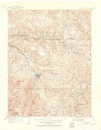
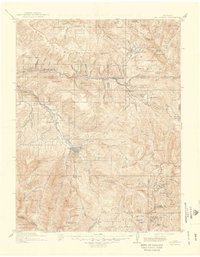
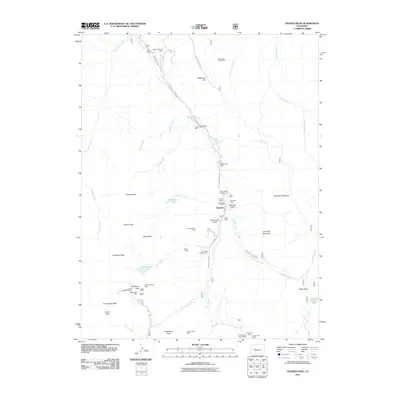
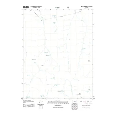
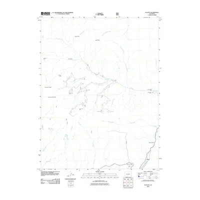
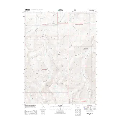
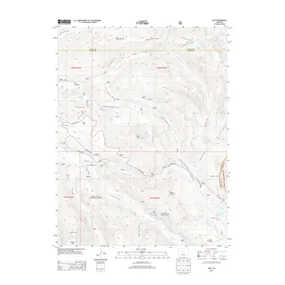
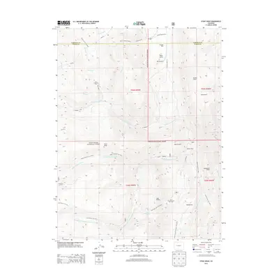
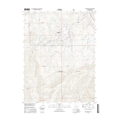
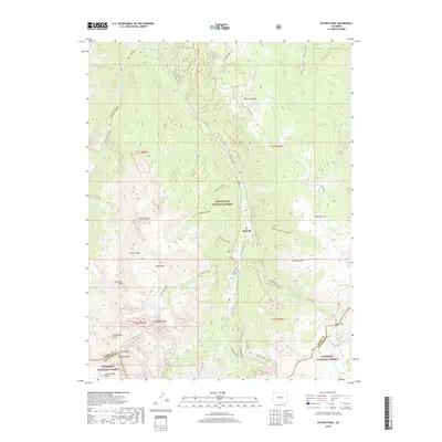
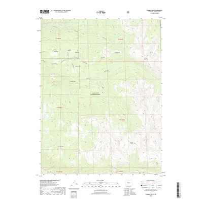
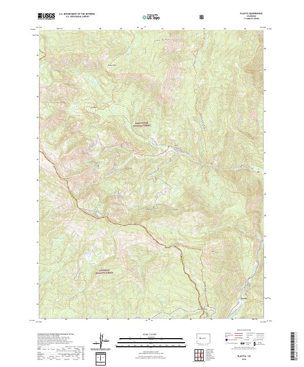
1963 Map of Placita
USGS Topo · Published 1984About this map
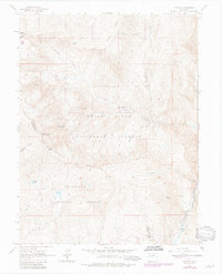
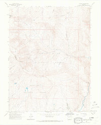
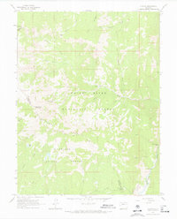
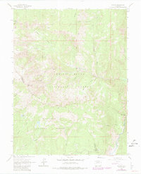
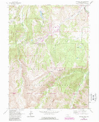
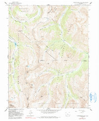
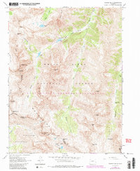
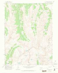
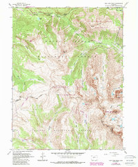
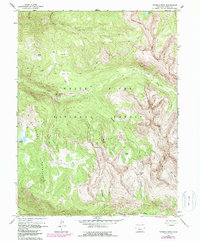
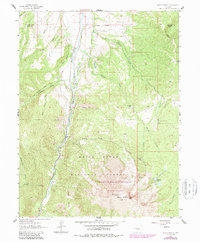
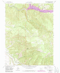
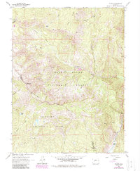
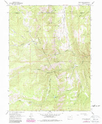
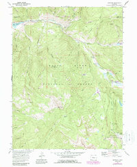
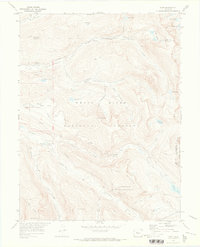
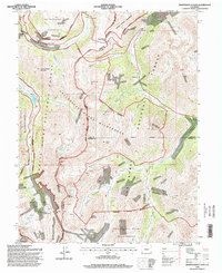
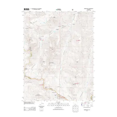
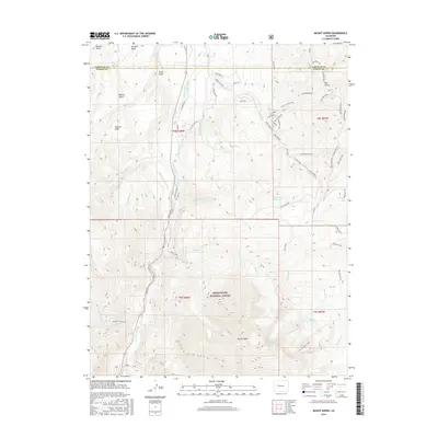
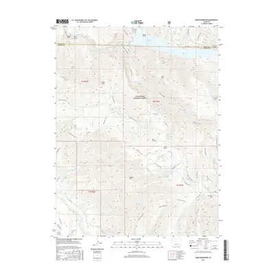
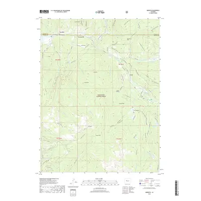
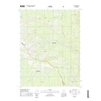
Placita sits along the Crystal River at the southern edge of this mid-century topographic record, marking a pocket of human activity within a landscape of significant elevation change and industrial potential. The rugged character of the Gunnison National Forest and White River National Forest is defined by prominent landforms such as Huntsman Ridge and the heights of Huntsman Mountain. The drainages of South Thompson Creek and Coal Creek reveal the complex hydraulic network of the region, while the presence of the Dutch Creek Mine and a Drill Hole in Coal Basin point to the area's history of extractive survey and labor. This 1963 survey, with revisions into the late 1970s, captures the remote transportation network including several pack trails and a jeep trail that navigate the high-altitude terrain between Dexter Park and Island Lake.
Find a feature on this map
31 named features on this map. Tap any name to fly to it.
Don’t see what you’re looking for? This feature index may not catch every label — zoom into the map to look around manually.
Map Details
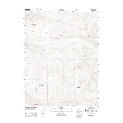
Editions of this 1963 Placita Map
5 editions found
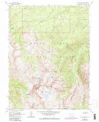
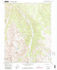
Historical Maps of Placita Through Time
89 maps found
1909 Mount Jackson
Pitkin County, CO
1911 Mount Jackson
Pitkin County, CO
1960 Capitol Peak
Pitkin County, CO
1960 Hayden Peak
Pitkin County, CO
1960 Highland Peak
Pitkin County, CO
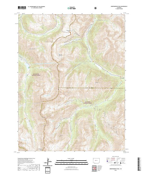
1960 Independence Pass
Pitkin County, CO
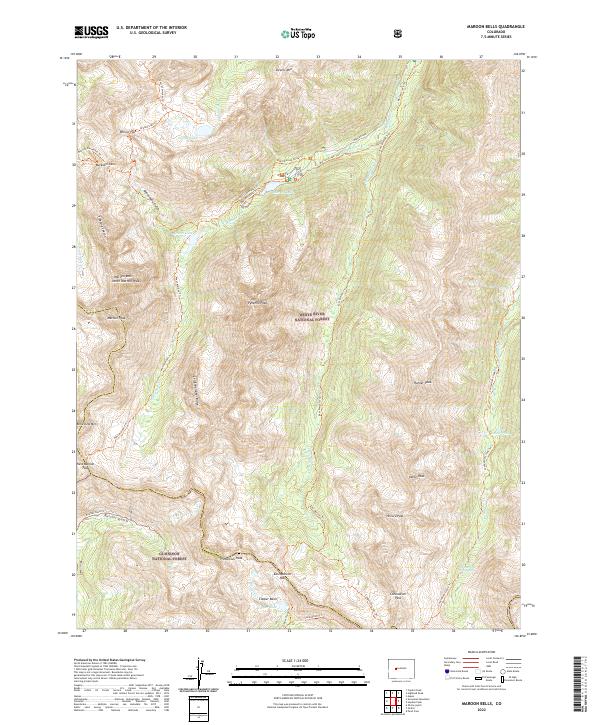
1960 Maroon Bells
Pitkin County, CO
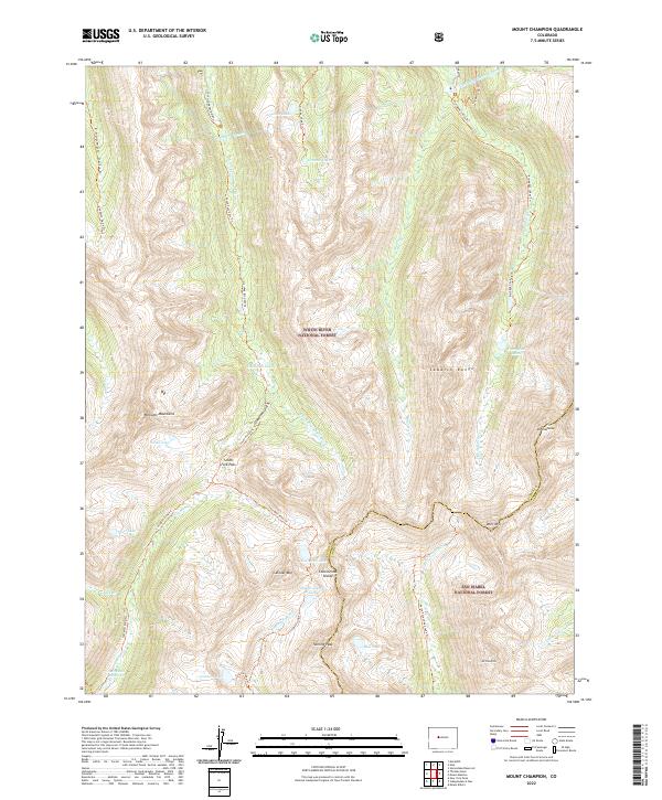
1960 Mount Champion
Pitkin County, CO
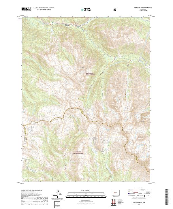
1960 New York Peak
Pitkin County, CO
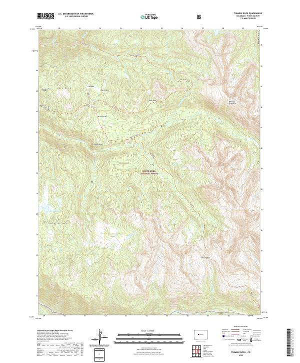
1960 Thimble Rock
Pitkin County, CO
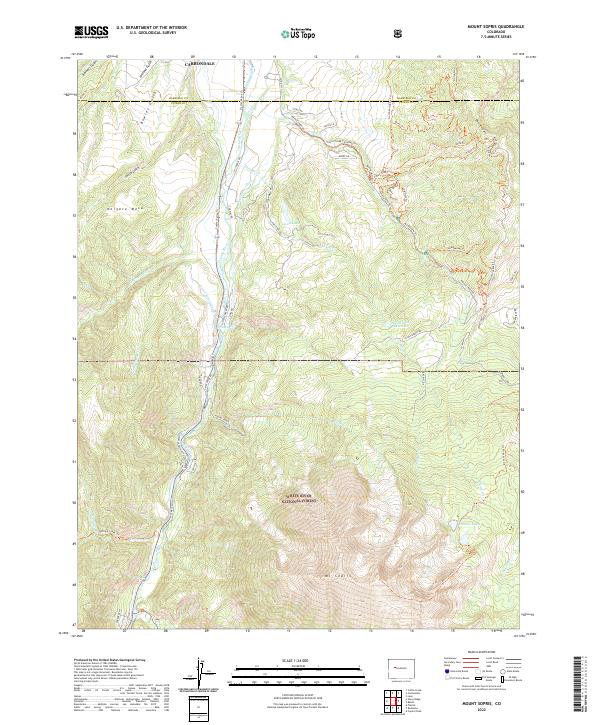
1961 Mount Sopris
Pitkin County, CO
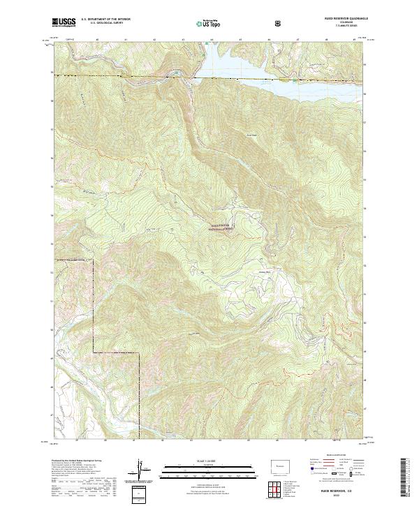
1961 Ruedi Reservoir
Pitkin County, CO
1963 Placita
Pitkin County, CO
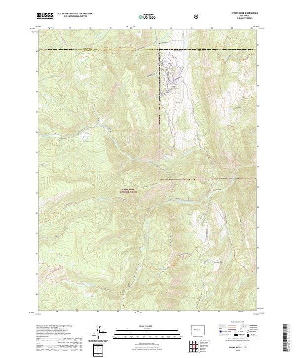
1963 Stony Ridge
Pitkin County, CO
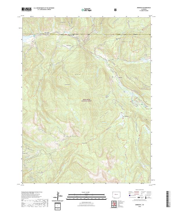
1970 Meredith
Pitkin County, CO
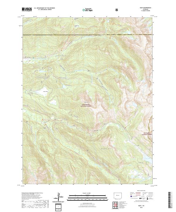
1970 Nast
Pitkin County, CO
1994 Independence Pass
Pitkin County, CO
1994 Mount Champion
Pitkin County, CO
1994 Nast
Pitkin County, CO
2011 Capitol Peak
Pitkin County, CO
2011 Hayden Peak
Pitkin County, CO
2011 Highland Peak
Pitkin County, CO
2011 Independence Pass
Pitkin County, CO
2011 Maroon Bells
Pitkin County, CO

2011 Meredith
Pitkin County, CO
2011 Mount Champion
Pitkin County, CO
2011 Mount Sopris
Pitkin County, CO
2011 Nast
Pitkin County, CO
2011 New York Peak
Pitkin County, CO
2011 Placita
Pitkin County, CO
2011 Ruedi Reservoir
Pitkin County, CO
2011 Stony Ridge
Pitkin County, CO
2011 Thimble Rock
Pitkin County, CO
2013 Capitol Peak
Pitkin County, CO
2013 Hayden Peak
Pitkin County, CO
2013 Highland Peak
Pitkin County, CO
2013 Independence Pass
Pitkin County, CO
2013 Maroon Bells
Pitkin County, CO
2013 Meredith
Pitkin County, CO
2013 Mount Champion
Pitkin County, CO
2013 Mount Sopris
Pitkin County, CO
2013 Nast
Pitkin County, CO
2013 New York Peak
Pitkin County, CO
2013 Placita
Pitkin County, CO
2013 Ruedi Reservoir
Pitkin County, CO
2013 Stony Ridge
Pitkin County, CO
2013 Thimble Rock
Pitkin County, CO
2016 Capitol Peak
Pitkin County, CO
2016 Hayden Peak
Pitkin County, CO
2016 Highland Peak
Pitkin County, CO
2016 Independence Pass
Pitkin County, CO
2016 Maroon Bells
Pitkin County, CO

2016 Meredith
Pitkin County, CO
2016 Mount Champion
Pitkin County, CO
2016 Mount Sopris
Pitkin County, CO
2016 Nast
Pitkin County, CO
2016 New York Peak
Pitkin County, CO
2016 Placita
Pitkin County, CO
2016 Ruedi Reservoir
Pitkin County, CO
2016 Stony Ridge
Pitkin County, CO
2016 Thimble Rock
Pitkin County, CO
2019 Capitol Peak
Pitkin County, CO
2019 Hayden Peak
Pitkin County, CO
2019 Highland Peak
Pitkin County, CO
2019 Independence Pass
Pitkin County, CO
2019 Maroon Bells
Pitkin County, CO
2019 Meredith
Pitkin County, CO
2019 Mount Champion
Pitkin County, CO
2019 Mount Sopris
Pitkin County, CO
2019 Nast
Pitkin County, CO
2019 New York Peak
Pitkin County, CO
2019 Placita
Pitkin County, CO
2019 Ruedi Reservoir
Pitkin County, CO
2019 Stony Ridge
Pitkin County, CO
2019 Thimble Rock
Pitkin County, CO
2022 Capitol Peak
Pitkin County, CO
2022 Hayden Peak
Pitkin County, CO
2022 Highland Peak
Pitkin County, CO
2022 Independence Pass
Pitkin County, CO
2022 Maroon Bells
Pitkin County, CO
2022 Meredith
Pitkin County, CO
2022 Mount Champion
Pitkin County, CO
2022 Mount Sopris
Pitkin County, CO
2022 Nast
Pitkin County, CO
2022 New York Peak
Pitkin County, CO
2022 Placita
Pitkin County, CO
2022 Ruedi Reservoir
Pitkin County, CO
2022 Stony Ridge
Pitkin County, CO
2022 Thimble Rock
Pitkin County, CO