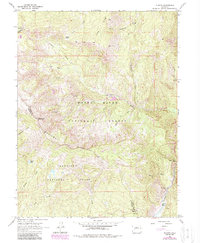
1963 Map of Placita
USGS Topo · Published 1988About this map
The Crystal River corridor defines the southeastern corner of this map, where the small settlement of Placita sits near the base of the steep high-country terrain. This area, largely divided between the White River National Forest and the Gunnison National Forest, showcases the industrial and recreational character of the Elk Mountains region. Economic history is visible in the Coal Basin and the presence of the Dutch Creek Mine, along with several other mines and a Drill Hole scattered across the slopes.
Find a feature on this map
35 named features on this map. Tap any name to fly to it.
Don’t see what you’re looking for? This feature index may not catch every label — zoom into the map to look around manually.
Map Details
Editions of this 1963 Placita Map
5 editions found
Other maps of this area

1957 · Leadville
USGS Topo · 1:250,000

1959 · Leadville
USGS Topo · 1:250,000

1960 · Leadville
USGS Topo · 1:250,000

1960 · Marble
USGS Topo · 1:24,000

1960 · Redstone
USGS Topo · 1:24,000

1961 · Mount Sopris
USGS Topo · 1:24,000

1962 · Leadville
USGS Topo · 1:250,000
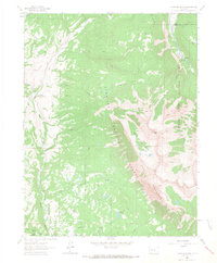
1963 · Chair Mountain
USGS Topo · 1:24,000
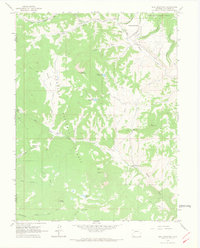
1963 · Bull Mountain
USGS Topo · 1:24,000
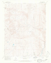
1963 · Placita
USGS Topo · 1:24,000