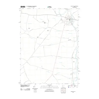
2010 Map of Plain City
USGS Topo · Published 2010About this map
Plain City serves as the primary hub of activity in this 2010 survey, where the Plain City Post Office and Plain City Airport anchor the local infrastructure. The surrounding landscape is defined by an intricate network of drainage ditches and waterways, most notably the meandering course of Big Darby Creek and smaller tributaries like Sweeney Run. This area preserves several smaller airfields, including Beachys Airport and Shekinah Airport, highlighting a distinct aviation presence in the rural corridor.
Find a feature on this map
56 named features on this map. Tap any name to fly to it.
Don’t see what you’re looking for? This feature index may not catch every label — zoom into the map to look around manually.
Map Details
Editions of this 2010 Plain City Map
This is the sole edition of this map. No revisions or reprints were ever made.
Other maps of this area

1901 · Dublin
USGS Topo · 1:62,500

1903 · Dublin
USGS Topo · 1:62,500

1907 · London
USGS Topo · 1:62,500

1916 · Milford Center
USGS Topo · 1:62,500

1923 · West Columbus
USGS Topo · 1:62,500

1925 · West Columbus
USGS Topo · 1:62,500

1944 · Milford Center
USGS Topo · 1:62,500

1947 · Columbus
USGS Topo · 1:250,000

1950 · Marion
USGS Topo · 1:250,000
1954 · Shawnee Hills
USGS Topo · 1:24,000