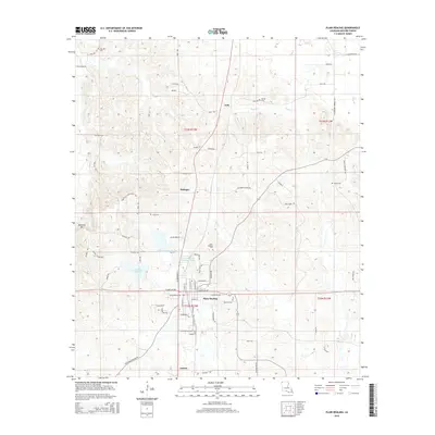
2015 Map of Plain Dealing
USGS Topo · Published 2015About this map
Plain Dealing serves as the primary hub in this northern Bossier Parish landscape, where the town layout reveals a transition from traditional rural homesteads to modern suburban expansion. The local geography is defined by a series of north-south corridors, including the rail lines and major thoroughfares that connect the smaller settlements of Antrim, Bolinger, and Lela. The presence of numerous family and community burial grounds, such as Oak Hill Cem and Caldwell Cem, offers a significant resource for genealogical research, anchoring the modern landscape to its long-established residential roots.
Find a feature on this map
74 named features on this map. Tap any name to fly to it.
Don’t see what you’re looking for? This feature index may not catch every label — zoom into the map to look around manually.
Map Details
Editions of this 2015 Plain Dealing Map
This is the sole edition of this map. No revisions or reprints were ever made.
Other maps of this area

1932 · Hosston NE
USGS Topo · 1:31,680

1932 · Hosston SE
USGS Topo · 1:31,680

1948 · Vivian
USGS Topo · 1:62,500

1950 · Plain Dealing SW
USGS Topo · 1:31,680

1950 · Plain Dealing NE
USGS Topo · 1:31,680

1950 · Plain Dealing SE
USGS Topo · 1:31,680

1950 · Plain Dealing NW
USGS Topo · 1:31,680

1952 · Doddridge SE
USGS Topo · 1:24,000

1952 · Bradley
USGS Topo · 1:24,000

1952 · Bradley SE
USGS Topo · 1:24,000