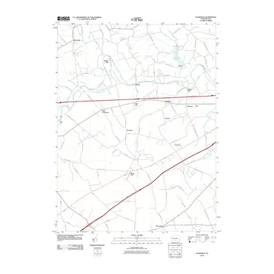
2010 Map of Plainfield
USGS Topo · Published 2010About this map
Conodoguinet Creek meanders across this Cumberland County landscape, anchoring a series of rural settlements and historic mill sites. This 2010 survey illustrates the continued importance of the waterway and its tributaries, such as Bloser Creek and Opossum Creek, which feed into the man-made Opossum Lake and its associated Opossum Lake Dam. Local industry and commerce are marked by features like Keiters Mill and Elliotts Mill, while the aviation history of the area is represented by Lash Airport.
Find a feature on this map
82 named features on this map. Tap any name to fly to it.
Don’t see what you’re looking for? This feature index may not catch every label — zoom into the map to look around manually.
Map Details
Editions of this 2010 Plainfield Map
This is the sole edition of this map. No revisions or reprints were ever made.
Other maps of this area

1904 · Carlisle
USGS Topo · 1:62,500

1907 · New Bloomfield
USGS Topo · 1:62,500

1919 · Newville
USGS Topo · 1:62,500

1930 · Loysville
USGS Topo · 1:62,500

1933 · Loysville
USGS Topo · 1:62,500

1943 · New Bloomfield
USGS Topo · 1:62,500

1943 · Carlisle
USGS Topo · 1:62,500

1945 · Newville
USGS Topo · 1:62,500

1950 · Harrisburg
USGS Topo · 1:250,000
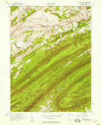
1952 · Andersonburg
USGS Topo · 1:24,000
Featured Places
- Plainfield, West Pennsboro Township
- West Pennsboro Township, PA
- Lower Frankford Township, PA
- Bears Crossroads, West Pennsboro Township
- Bloserville, Upper Frankford Township