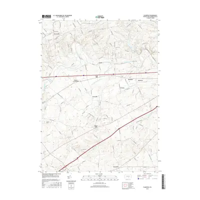
2016 Map of Plainfield
USGS Topo · Published 2016About this map
Conodoguinet Creek meanders through the heart of this Cumberland County landscape, anchoring a series of small agricultural and residential clusters. The terrain is defined by its water sources, from the prominent Opossum Lake in the north to the distinctive resurgence points of Mount Rock Spring and Alexander Spring in the south. These springs feed a network of creeks, including Mount Rock Spring Cr and Alexander Spring Cr, which have historically influenced the placement of crossroads and early farmsteads.
Find a feature on this map
110 named features on this map. Tap any name to fly to it.
Don’t see what you’re looking for? This feature index may not catch every label — zoom into the map to look around manually.
Map Details
Editions of this 2016 Plainfield Map
This is the sole edition of this map. No revisions or reprints were ever made.
Other maps of this area

1904 · Carlisle
USGS Topo · 1:62,500

1907 · New Bloomfield
USGS Topo · 1:62,500

1919 · Newville
USGS Topo · 1:62,500

1930 · Loysville
USGS Topo · 1:62,500

1933 · Loysville
USGS Topo · 1:62,500

1943 · New Bloomfield
USGS Topo · 1:62,500

1943 · Carlisle
USGS Topo · 1:62,500

1945 · Newville
USGS Topo · 1:62,500

1950 · Harrisburg
USGS Topo · 1:250,000
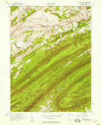
1952 · Andersonburg
USGS Topo · 1:24,000
Featured Places
- Plainfield, West Pennsboro Township
- West Pennsboro Township, PA
- Lower Frankford Township, PA
- Bears Crossroads, West Pennsboro Township
- Bloserville, Upper Frankford Township