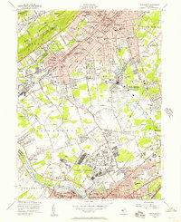
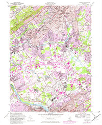
1955 Map of Plainfield
USGS Topo · Published 1957About this map
Watchung Mountain and its prominent Washington Rock State Park loom over a landscape defined by rapid mid-century suburban expansion and industrial transport corridors. The southern portion of the map is dominated by the US Military Reservation Camp Kilmer, a significant World War II-era staging area still clearly outlined by its sprawling grid and rail spurs near Stelton. This survey captures the dense network of rails that fueled the region's growth, including the Lehigh Valley RR and Reading RR intersecting at South Plainfield. Local life is visible through numerous neighborhood institutions like Sacred Heart Sch and the Plainfield Country Club. Small, historically distinct settlements such as Pumptown, Possumtown, and Newtown appear between the larger residential blocks of North Plainfield and Metuchen, while the Raritan River and Raritan Canal trace the southern boundary.
Find a feature on this map
97 named features on this map. Tap any name to fly to it.
Don’t see what you’re looking for? This feature index may not catch every label — zoom into the map to look around manually.
Map Details
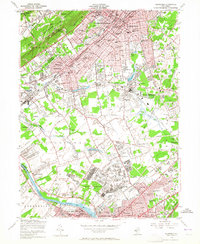
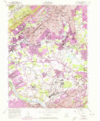
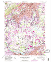
Editions of this 1955 Plainfield Map
5 editions found
Other maps of this area

1888 · Plainfield
USGS Topo · 1:62,500

1888 · New Brunswick
USGS Topo · 1:62,500

1888 · Princeton
USGS Topo · 1:62,500

1891 · Somerville
USGS Topo · 1:62,500

1893 · New Brunswick
USGS Topo · 1:62,500

1893 · Plainfield
USGS Topo · 1:62,500

1893 · Somerville
USGS Topo · 1:62,500

1894 · Princeton
USGS Topo · 1:62,500

1898 · Plainfield
USGS Topo · 1:62,500

1898 · Somerville
USGS Topo · 1:62,500