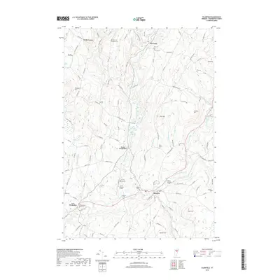
2018 Map of Plainfield
USGS Topo · Published 2018About this map
The Winooski River and its major tributaries, such as the Kingsbury Branch, carve through this central Vermont landscape, defining the layout of small villages and valley roads. The village of Plainfield sits at a significant bend in the river, serving as a focal point near Goddard College. This area is characterized by a high density of small family and community burial grounds, including Quake Cem, Rich-Hollister Cem, and the Old West Church Cem near Bliss Pond.
Find a feature on this map
120 named features on this map. Tap any name to fly to it.
Don’t see what you’re looking for? This feature index may not catch every label — zoom into the map to look around manually.
Map Details
Editions of this 2018 Plainfield Map
This is the sole edition of this map. No revisions or reprints were ever made.
Other maps of this area

1919 · Montpelier
USGS Topo · 1:62,500

1921 · Montpelier
USGS Topo · 1:62,500

1922 · Barre
USGS Topo · 1:48,000

1924 · Barre
USGS Topo · 1:62,500

1939 · Plainfield
USGS Topo · 1:48,000

1940 · Plainfield
USGS Topo · 1:62,500

1943 · Plainfield
USGS Topo · 1:62,500

1944 · Montpelier
USGS Topo · 1:62,500

1947 · Corinth
USGS Topo · 1:62,500

1948 · East Barre
USGS Topo · 1:62,500