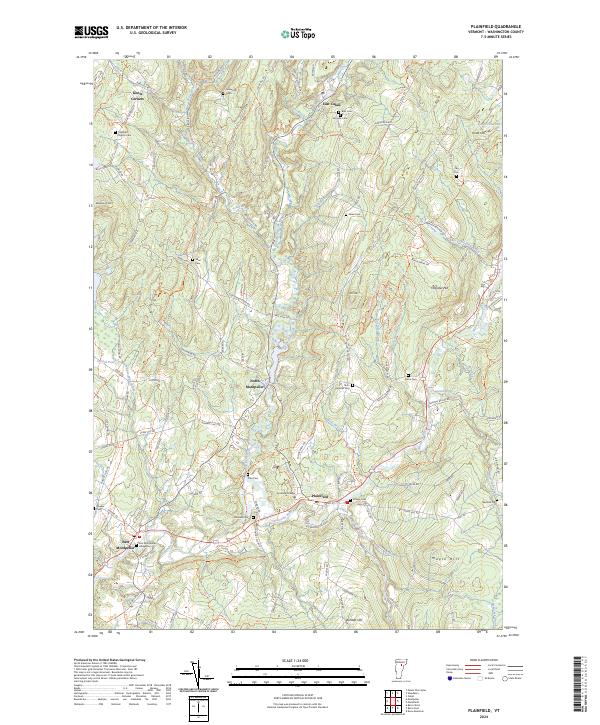
2024 Map of Plainfield
USGS Topo · Published 2024About this map
Goddard College sits at the heart of this landscape, reflecting the educational and cultural heritage of Plainfield. The terrain is defined by a dense network of winding brooks and branches, including Kingsbury Branch and the prominent Winooski River, which flow past historic hamlets like North Montpelier and East Montpelier. For genealogists, the map is remarkably dense with family-named burial grounds, such as the Rich-Hollister Cem, Ainsworth Cem, and Pike Cem, offering a detailed spatial record of the area's early settlers and established lineages.
Find a feature on this map
111 named features on this map. Tap any name to fly to it.
Don’t see what you’re looking for? This feature index may not catch every label — zoom into the map to look around manually.
Map Details
Editions of this 2024 Plainfield Map
This is the sole edition of this map. No revisions or reprints were ever made.
Other maps of this area

1919 · Montpelier
USGS Topo · 1:62,500

1921 · Montpelier
USGS Topo · 1:62,500

1922 · Barre
USGS Topo · 1:48,000

1924 · Barre
USGS Topo · 1:62,500

1939 · Plainfield
USGS Topo · 1:48,000

1940 · Plainfield
USGS Topo · 1:62,500

1943 · Plainfield
USGS Topo · 1:62,500

1944 · Montpelier
USGS Topo · 1:62,500

1947 · Corinth
USGS Topo · 1:62,500

1948 · East Barre
USGS Topo · 1:62,500