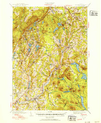
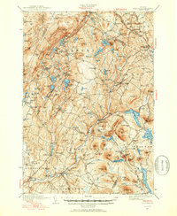
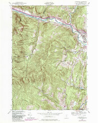
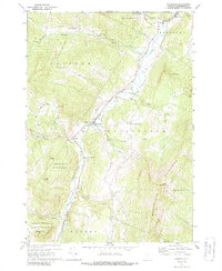
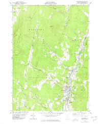
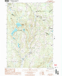
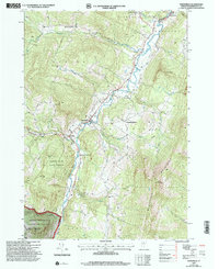
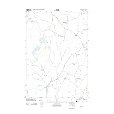
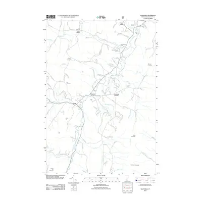
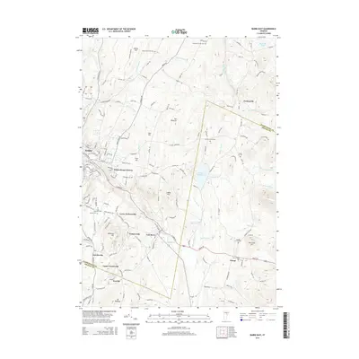
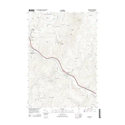
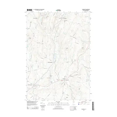
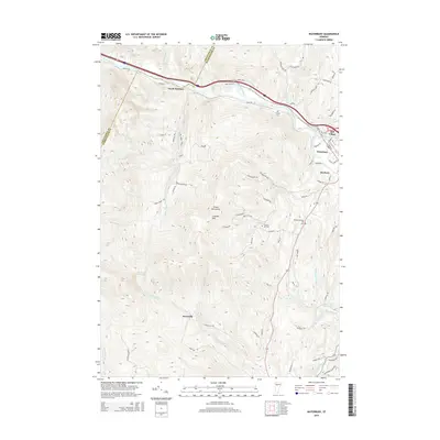
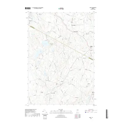
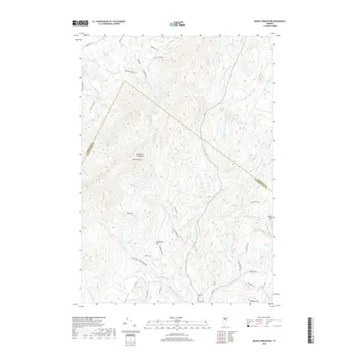
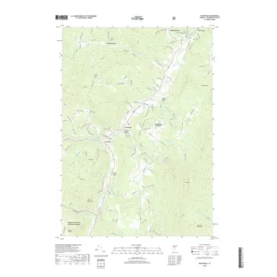
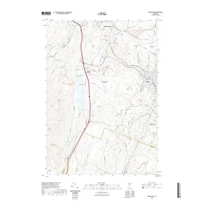
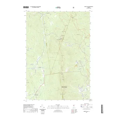
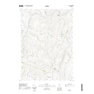
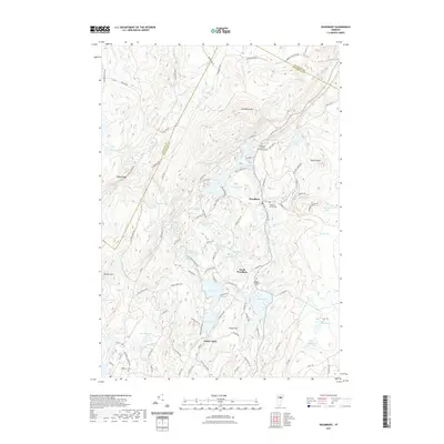
1940 Map of Plainfield
USGS Topo · Published 1953About this map
The St Johnsbury and Lake Champlain RR cuts across the northern landscape of Washington and Caledonia counties, serving a network of villages and upland farms. This 1940s-era topography reveals a transition between concentrated valley settlements like Plainfield and Marshfield and the high mountain terrain of Woodbury Mtn. The map documents a rural society built around local institutions, with numerous small schoolhouses like the Pekin Sch and Hollister Hill Sch scattered near family-named landmarks like Foster Hill and Knob Hill.
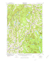
Find a feature on this map
110 named features on this map. Tap any name to fly to it.
Don’t see what you’re looking for? This feature index may not catch every label — zoom into the map to look around manually.
Map Details
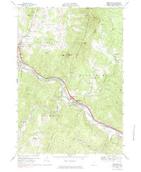
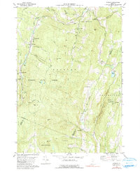
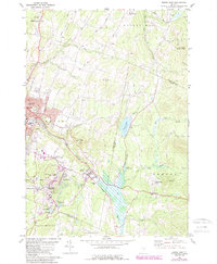
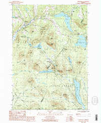
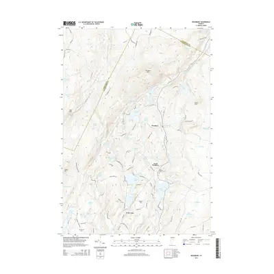
Editions of this 1940 Plainfield Map
2 editions found
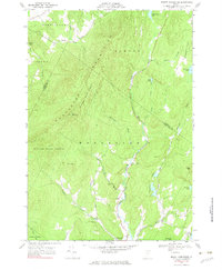
Historical Maps of Hardwick Through Time
96 maps found
1919 Lincoln Mountain
Washington County, VT

1920 Lincoln Mountain
Washington County, VT
1921 Lincoln Mountain
Washington County, VT

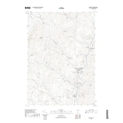
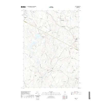
1939 Plainfield
Washington County, VT
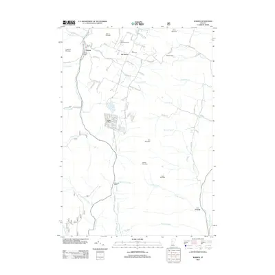
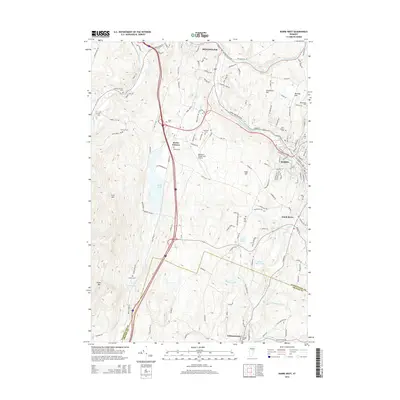
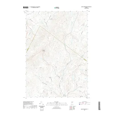
1940 Plainfield
Washington County, VT

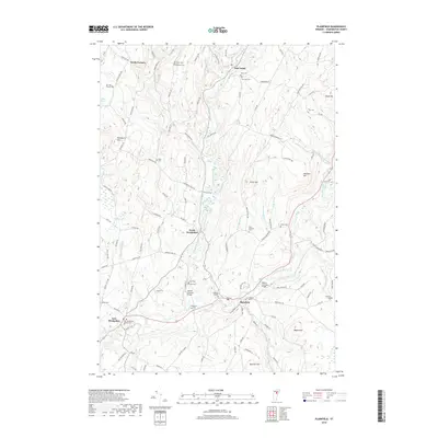
1943 Plainfield
Washington County, VT
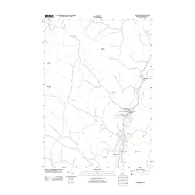
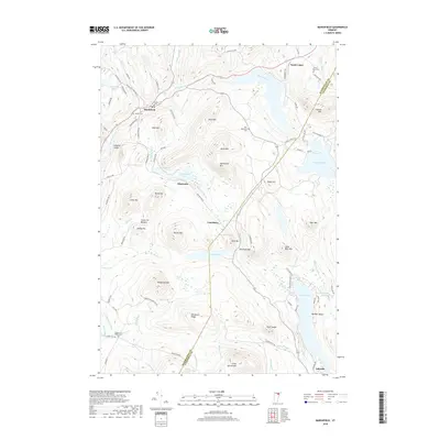
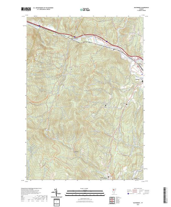
1948 Waterbury
Washington County, VT
1953 Plainfield
Washington County, VT
1968 Middlesex
Washington County, VT
1968 Mount Worcester
Washington County, VT
1970 Waitsfield
Washington County, VT
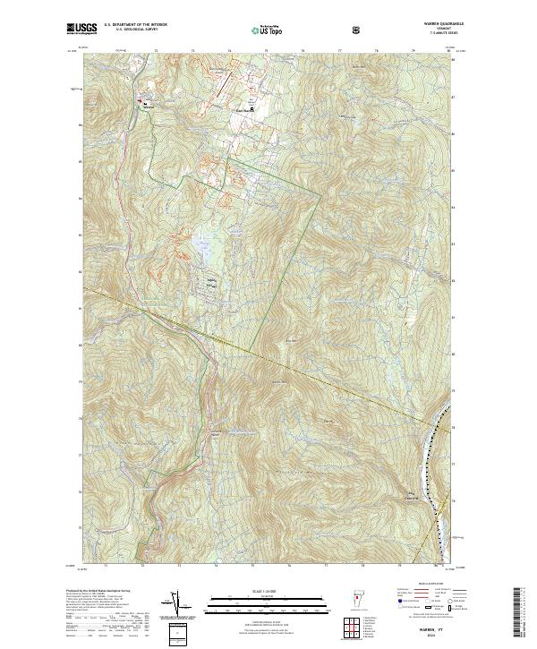
1970 Warren
Washington County, VT
1971 Mount Ellen
Washington County, VT
1978 Barre West
Washington County, VT
1980 Northfield
Washington County, VT
1980 Roxbury
Washington County, VT
1981 Barre East
Washington County, VT
1984 Roxbury
Washington County, VT
1986 Cabot
Washington County, VT
1986 Marshfield
Washington County, VT
1986 Plainfield
Washington County, VT
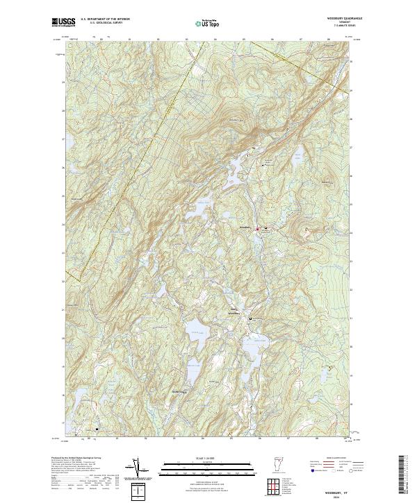
1986 Woodbury
Washington County, VT

1997 Mount Ellen
Washington County, VT
1997 Waitsfield
Washington County, VT

1997 Warren
Washington County, VT
1999 Mount Worcester
Washington County, VT
2012 Barre East
Washington County, VT
2012 Barre West
Washington County, VT
2012 Cabot
Washington County, VT
2012 Marshfield
Washington County, VT
2012 Middlesex
Washington County, VT
2012 Mount Ellen
Washington County, VT
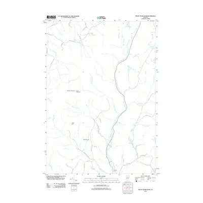
2012 Mount Worcester
Washington County, VT
2012 Northfield
Washington County, VT
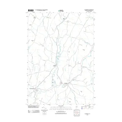
2012 Plainfield
Washington County, VT
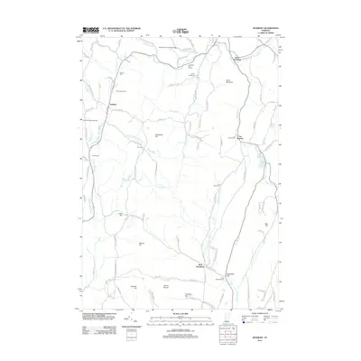
2012 Roxbury
Washington County, VT
2012 Waitsfield
Washington County, VT
2012 Warren
Washington County, VT
2012 Waterbury
Washington County, VT
2012 Woodbury
Washington County, VT
2015 Barre East
Washington County, VT
2015 Barre West
Washington County, VT
2015 Cabot
Washington County, VT
2015 Marshfield
Washington County, VT
2015 Middlesex
Washington County, VT
2015 Mount Ellen
Washington County, VT
2015 Mount Worcester
Washington County, VT
2015 Northfield
Washington County, VT
2015 Plainfield
Washington County, VT
2015 Roxbury
Washington County, VT
2015 Waitsfield
Washington County, VT
2015 Warren
Washington County, VT
2015 Waterbury
Washington County, VT
2015 Woodbury
Washington County, VT
2018 Barre East
Washington County, VT
2018 Barre West
Washington County, VT
2018 Cabot
Washington County, VT
2018 Marshfield
Washington County, VT
2018 Middlesex
Washington County, VT
2018 Mount Ellen
Washington County, VT
2018 Mount Worcester
Washington County, VT
2018 Northfield
Washington County, VT
2018 Plainfield
Washington County, VT
2018 Roxbury
Washington County, VT
2018 Waitsfield
Washington County, VT
2018 Warren
Washington County, VT
2018 Waterbury
Washington County, VT

2018 Woodbury
Washington County, VT
2021 Barre East
Washington County, VT
2021 Barre West
Washington County, VT
2021 Cabot
Washington County, VT
2021 Marshfield
Washington County, VT
2021 Middlesex
Washington County, VT
2021 Mount Ellen
Washington County, VT
2021 Mount Worcester
Washington County, VT
2021 Northfield
Washington County, VT
2021 Plainfield
Washington County, VT
2021 Roxbury
Washington County, VT
2021 Waitsfield
Washington County, VT
2021 Warren
Washington County, VT
2021 Waterbury
Washington County, VT
2021 Woodbury
Washington County, VT
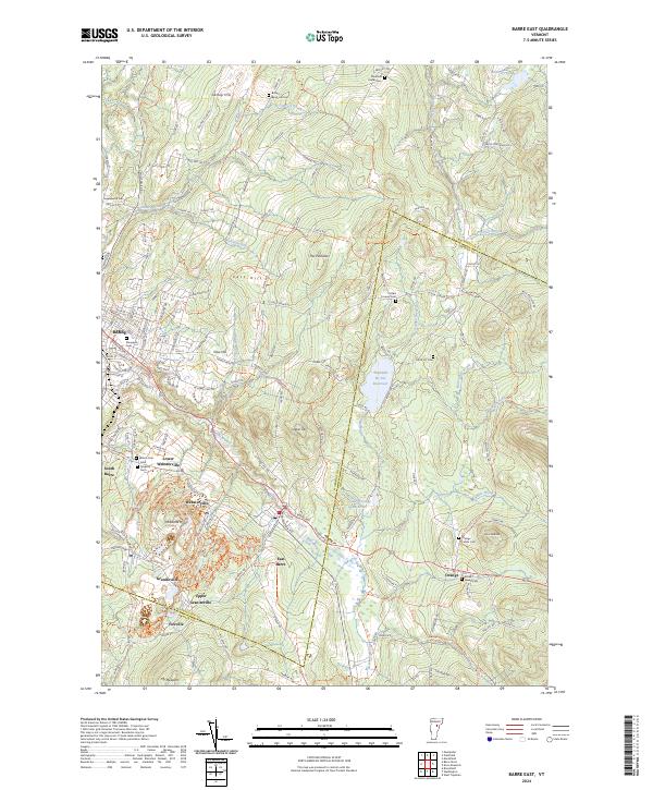
2024 Barre East
Washington County, VT
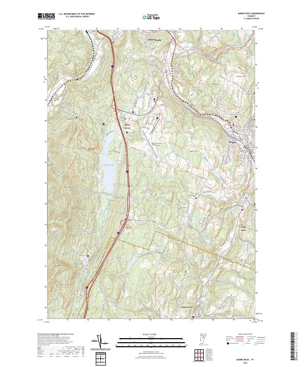
2024 Barre West
Washington County, VT
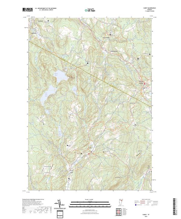
2024 Cabot
Washington County, VT
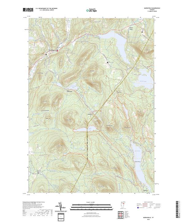
2024 Marshfield
Washington County, VT
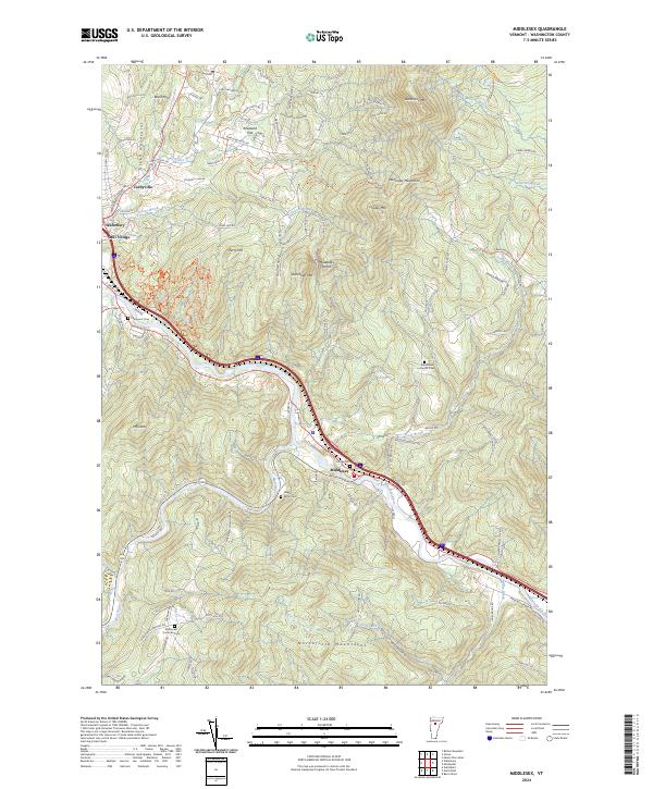
2024 Middlesex
Washington County, VT
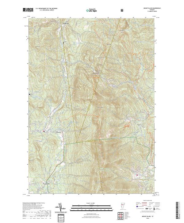
2024 Mount Ellen
Washington County, VT
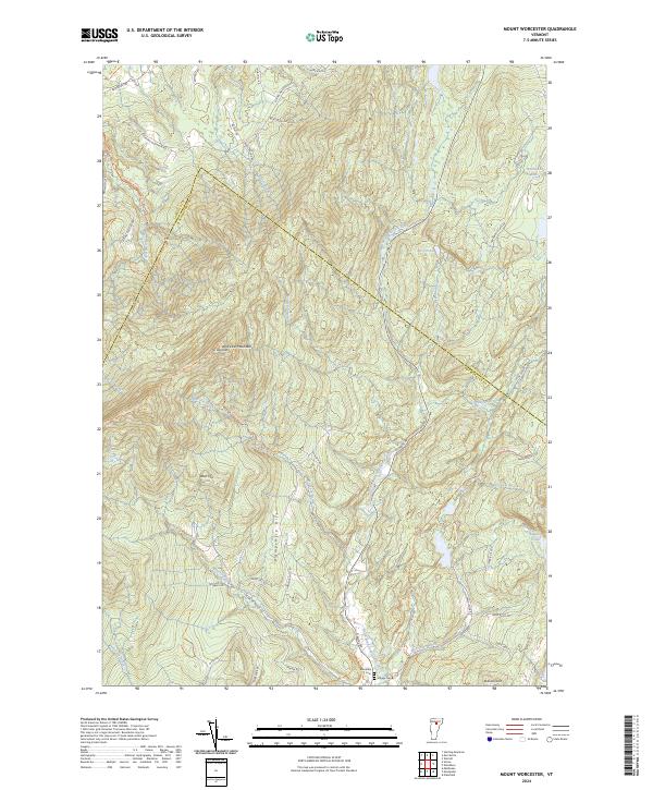
2024 Mount Worcester
Washington County, VT
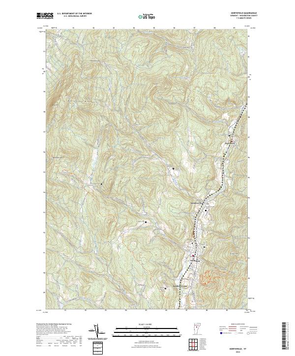
2024 Northfield
Washington County, VT
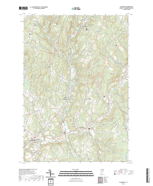
2024 Plainfield
Washington County, VT
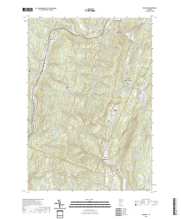
2024 Roxbury
Washington County, VT
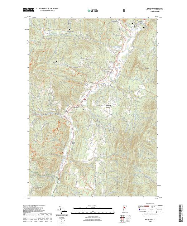
2024 Waitsfield
Washington County, VT
2024 Warren
Washington County, VT
2024 Waterbury
Washington County, VT
2024 Woodbury
Washington County, VT