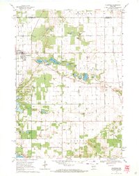
1968 Map of Plainfield
USGS Topo · Published 1971About this map
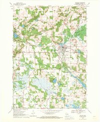
Glacial kettle lakes and small cemeteries define the landscape of Central Wisconsin in this late-1960s survey. The village of Plainfield serves as the primary hub, situated along the Soo Line railroad which cuts north-south through the western portion of the sheet. Outside the village, the terrain transitions into a patchwork of family-named water bodies and local landmarks, including Plainfield Lake, Long Lake, and the uniquely named Lake Huron.
Find a feature on this map
57 named features on this map. Tap any name to fly to it.
Don’t see what you’re looking for? This feature index may not catch every label — zoom into the map to look around manually.
Map Details
Editions of this 1968 Plainfield Map
2 editions found
Other maps of this area

1955 · Green Bay
USGS Topo · 1:250,000
1957 · Amherst
USGS Topo · 1:48,000
1957 · Whiting
USGS Topo · 1:48,000
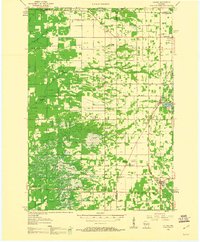
1958 · Coloma
USGS Topo · 1:48,000
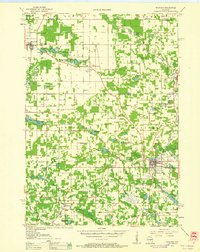
1959 · Wautoma
USGS Topo · 1:48,000
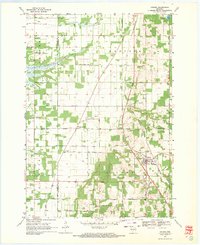
1968 · Coloma
USGS Topo · 1:24,000
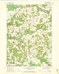
1968 · Richford
USGS Topo · 1:24,000
1968 · Wautoma
USGS Topo · 1:24,000
1968 · Hancock
USGS Topo · 1:24,000
1968 · Wautoma NE
USGS Topo · 1:24,000