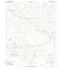
1970 Map of Plains 1 NW
USGS Topo · Published 1974This historical map portrays the area of Plains 1 NW in 1970, primarily covering Cochran County as well as portions of Yoakum County. Featuring a scale of 1:24000, this map provides a highly detailed snapshot of the terrain, roads, buildings, counties, and historical landmarks in the Plains 1 NW region at the time. Published in 1974, it is one of 2 known editions of this map due to revisions or reprints.
Map Details
Editions of this 1970 Plains 1 NW Map
2 editions found
Historical Maps of Yoakum County Through Time
11 maps found
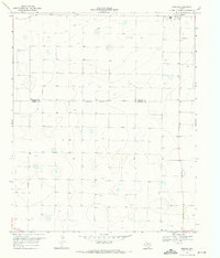
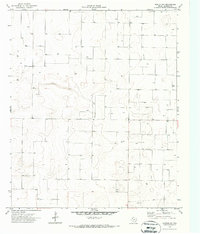
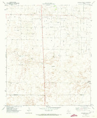
1969 Enochs
Cochran County, TX
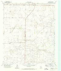
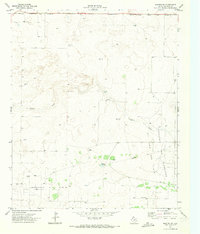
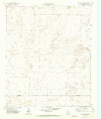
1969 Lehman
Cochran County, TX
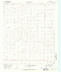
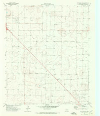
1969 Maple
Cochran County, TX
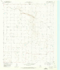
1970 Morton NW
Cochran County, TX
1970 Morton SW
Cochran County, TX
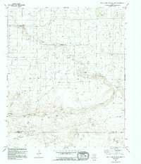
1970 South Fork Sulphur Draw
Cochran County, TX
1970 Whiteface SW
Cochran County, TX
1971 Schooler Ranch
Cochran County, TX
1971 Two B Ranch NW
Cochran County, TX
1971 Whiteface NW
Cochran County, TX
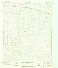
1974 County Line
Cochran County, TX