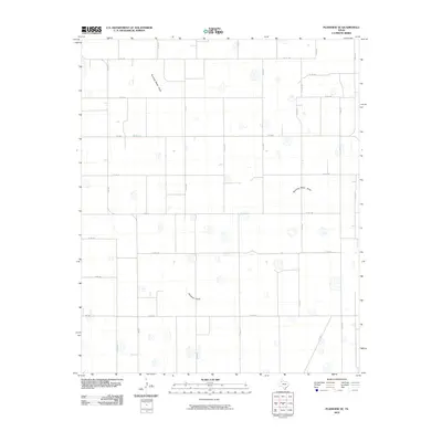
2010 Map of Plainview SE
USGS Topo · Published 2010About this map
Running Water Draw meanders across this rural section of Hale County, cutting a subtle path through the high plains landscape of the Texas Panhandle. This 2010 survey by the U.S. Geological Survey illustrates an area defined by a rigorous grid of agricultural roads, such as Co Rd 135 and Co Rd 150, which facilitate the region's intensive farming operations. The ephemeral drainage of Callahan Darw in the southern portion of the map further highlights the seasonal water patterns essential to this semi-arid environment. Important regional connectors like Fm 789 and Fm 784 link the scattered farmsteads and agricultural plots, providing a clear picture of the modern rural infrastructure and land use in this part of Texas.
Find a feature on this map
32 named features on this map. Tap any name to fly to it.
Don’t see what you’re looking for? This feature index may not catch every label — zoom into the map to look around manually.
Map Details
Editions of this 2010 Plainview SE Map
This is the sole edition of this map. No revisions or reprints were ever made.
Other maps of this area

1954 · Lubbock
USGS Topo · 1:250,000

1954 · Plainview
USGS Topo · 1:250,000

1958 · Plainview
USGS Topo · 1:250,000

1965 · Lockney
USGS Topo · 1:24,000

1965 · Sandhill
USGS Topo · 1:24,000

1965 · Plainview
USGS Topo · 1:24,000

1966 · Sterley
USGS Topo · 1:24,000

1968 · Happy Union
USGS Topo · 1:24,000

1968 · Barwise
USGS Topo · 1:24,000

1968 · Plainview SE
USGS Topo · 1:24,000