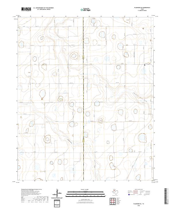
2022 Map of Plainview SE
USGS Topo · Published 2022About this map
Hale Co and Floyd Co meet along a north-south boundary line in this high plains landscape defined by agricultural road grids and subtle drainage features. The terrain is marked by the wandering path of Running Water Draw in the east and Callahan Draw to the west, natural depressions that interrupt the otherwise uniform section lines. This area southeast of Plainview remains focused on large-scale ranching and farming, connected by a network of farm-to-market roads including Fm 789 and Fm 2883. For those researching local history or genealogy, the small Trick Cem located near the intersection of Fm 2883 and Co RD 55 provides a specific point of reference for family roots in this rural portion of the Texas Panhandle.
Find a feature on this map
36 named features on this map. Tap any name to fly to it.
Don’t see what you’re looking for? This feature index may not catch every label — zoom into the map to look around manually.
Map Details
Editions of this 2022 Plainview SE Map
This is the sole edition of this map. No revisions or reprints were ever made.
Other maps of this area

1954 · Lubbock
USGS Topo · 1:250,000

1954 · Plainview
USGS Topo · 1:250,000

1958 · Plainview
USGS Topo · 1:250,000

1965 · Lockney
USGS Topo · 1:24,000

1965 · Sandhill
USGS Topo · 1:24,000

1965 · Plainview
USGS Topo · 1:24,000

1966 · Sterley
USGS Topo · 1:24,000

1968 · Happy Union
USGS Topo · 1:24,000

1968 · Barwise
USGS Topo · 1:24,000

1968 · Plainview SE
USGS Topo · 1:24,000