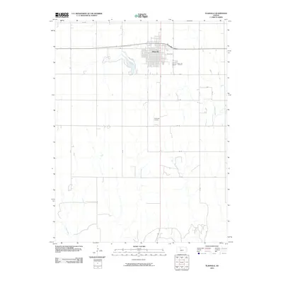
2010 Map of Plainville
USGS Topo · Published 2010About this map
Plainville stands at the heart of this Rooks County landscape, defined by a grid of agricultural section lines and the winding path of Paradise Creek. The town is the primary hub of activity, with its residential and commercial blocks concentrated north of the Plainville Airpark. To the west, the Plainville Township Lake serves as a notable hydrologic feature in an area largely characterized by small drainage tributaries and creek beds like Sand Creek.
Find a feature on this map
22 named features on this map. Tap any name to fly to it.
Don’t see what you’re looking for? This feature index may not catch every label — zoom into the map to look around manually.
Map Details
Editions of this 2010 Plainville Map
This is the sole edition of this map. No revisions or reprints were ever made.
Other maps of this area

1896 · Plainville
USGS Topo · 1:125,000

1955 · Beloit
USGS Topo · 1:250,000

1959 · Beloit
USGS Topo · 1:250,000

1969 · Stockton SW
USGS Topo · 1:24,000

1978 · Plainville
USGS Topo · 1:24,000
1978 · Plainville SW
USGS Topo · 1:24,000
1978 · Codell
USGS Topo · 1:24,000
1978 · Twin Mound
USGS Topo · 1:24,000
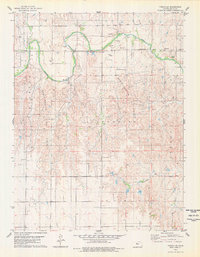
1978 · Turkville
USGS Topo · 1:24,000
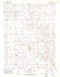
1978 · Zurich
USGS Topo · 1:24,000