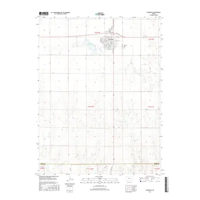
2016 Map of Plainville
USGS Topo · Published 2016About this map
Plainville stands as a central hub on the High Plains of Rooks County, anchored by a detailed residential grid including N Broadway St, Wyoming St, and Colorado St. The town's surrounding landscape is defined by the agricultural sections and natural drainages that shape the region's character, most notably Paradise Cr winding south from Plainville Township Lake. The mapping reveals a transition into the more broken terrain near the Rooks Co Ellis Co boundary line. Local history and genealogy interests are represented by the presence of Plainville Cem situated on the eastern edge of the township, while the drainage of Sand Cr marks the southern reaches of the quadrangle where the topography begins to descend toward the Saline River valley just beyond the sheet.
Find a feature on this map
62 named features on this map. Tap any name to fly to it.
Don’t see what you’re looking for? This feature index may not catch every label — zoom into the map to look around manually.
Map Details
Editions of this 2016 Plainville Map
This is the sole edition of this map. No revisions or reprints were ever made.
Other maps of this area

1896 · Plainville
USGS Topo · 1:125,000

1955 · Beloit
USGS Topo · 1:250,000

1959 · Beloit
USGS Topo · 1:250,000

1969 · Stockton SW
USGS Topo · 1:24,000

1978 · Plainville
USGS Topo · 1:24,000
1978 · Plainville SW
USGS Topo · 1:24,000
1978 · Codell
USGS Topo · 1:24,000
1978 · Twin Mound
USGS Topo · 1:24,000
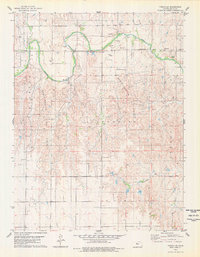
1978 · Turkville
USGS Topo · 1:24,000
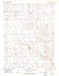
1978 · Zurich
USGS Topo · 1:24,000