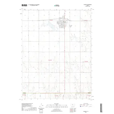
2018 Map of Plainville
USGS Topo · Published 2018About this map
Plainville stands as the primary hub of this High Plains landscape, situated at the intersection of a grid-iron road network and the upper reaches of local drainage systems. The town layout is meticulously detailed, showing the residential and commercial structure along N Main St and S Washington St, while the Plainville Cem sits on the eastern edge of the community. This 2018 survey captures the agricultural geometry of Rooks County, where section-line roads like Z Rd and AA Rd define the territory between the branching tributaries of Paradise Cr and Sand Cr. Near the southern border, the transition from Rooks to Ellis County is clearly marked, reflecting the importance of these political boundaries in the region's land management. The presence of Dean Hill Ave and other rural routes highlights the enduring pattern of homestead access and transit that has shaped this part of Kansas since its settlement.
Find a feature on this map
46 named features on this map. Tap any name to fly to it.
Don’t see what you’re looking for? This feature index may not catch every label — zoom into the map to look around manually.
Map Details
Editions of this 2018 Plainville Map
This is the sole edition of this map. No revisions or reprints were ever made.
Other maps of this area

1896 · Plainville
USGS Topo · 1:125,000

1955 · Beloit
USGS Topo · 1:250,000

1959 · Beloit
USGS Topo · 1:250,000

1969 · Stockton SW
USGS Topo · 1:24,000

1978 · Plainville
USGS Topo · 1:24,000
1978 · Plainville SW
USGS Topo · 1:24,000
1978 · Codell
USGS Topo · 1:24,000
1978 · Twin Mound
USGS Topo · 1:24,000
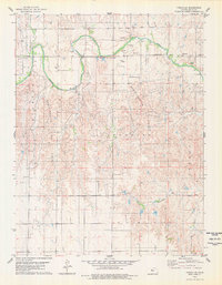
1978 · Turkville
USGS Topo · 1:24,000
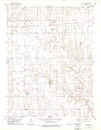
1978 · Zurich
USGS Topo · 1:24,000