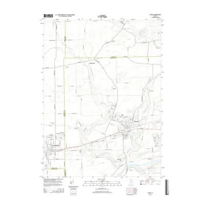
2015 Map of Plano
USGS Topo · Published 2015About this map
Plano and the neighboring community of Sandwich anchor this Illinois landscape where the borders of DeKalb, Kane, Kendall, and LaSalle counties converge. The modern alignment of the BNSF Railway cuts through the heart of these settlements, tracing a historic transit corridor that has long defined the local economy. North of the larger towns, the small cluster at Little Rock serves as a reminder of the area's agricultural foundations, situated near the winding path of Little Rock Creek.
Find a feature on this map
137 named features on this map. Tap any name to fly to it.
Don’t see what you’re looking for? This feature index may not catch every label — zoom into the map to look around manually.
Map Details
Editions of this 2015 Plano Map
This is the sole edition of this map. No revisions or reprints were ever made.
Other maps of this area
1925 · Yorkville
USGS Topo · 1:62,500
1932 · Geneva
USGS Topo · 1:62,500
1937 · Sycamore
USGS Topo · 1:62,500
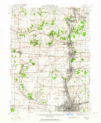
1948 · Geneva
USGS Topo · 1:62,500
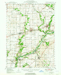
1948 · Sandwich
USGS Topo · 1:62,500
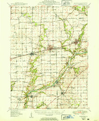
1950 · Sandwich
USGS Topo · 1:62,500
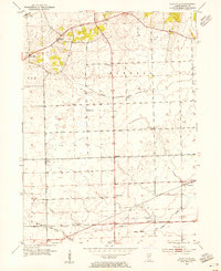
1953 · Plattville
USGS Topo · 1:24,000
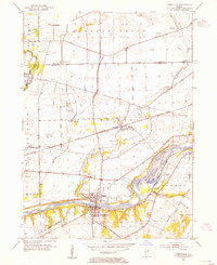
1953 · Yorkville
USGS Topo · 1:24,000
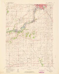
1954 · Yorkville
USGS Topo · 1:62,500

1958 · Aurora
USGS Topo · 1:250,000