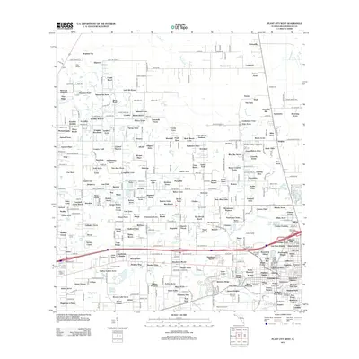
2012 Map of Plant City West
USGS Topo · Published 2012About this map
Herndons Mill and the headwaters of Pemberton Cr anchor this section of Hillsborough County, where the landscape transitions from established agricultural holdings to modern residential developments. The area is defined by a dense network of family-named ranches and estate settlements, including the Martin Ranch, Reeves Estate, and Gaineys Acres. In the south, the Plant City Airport and Memorial Park Cem sit near the branching waters of Spartman Br, while the northern reaches remain more rural with features like Two Hole Br and the small community of Moriczville. The distribution of dozens of small-scale subdivisions such as Kingston City and Salamacha Acres reflects the late-century suburban growth patterns typical of the region east of Tampa, interspersed with institutional landmarks like Wesley Chapel and the Cork Academy.
Find a feature on this map
291 named features on this map. Tap any name to fly to it.
Don’t see what you’re looking for? This feature index may not catch every label — zoom into the map to look around manually.
Map Details
Editions of this 2012 Plant City West Map
This is the sole edition of this map. No revisions or reprints were ever made.
Other maps of this area

1921 · Tampa
USGS Topo · 1:62,500

1943 · Thonotosassa
USGS Topo · 1:24,000

1944 · Plant City
USGS Topo · 1:31,680

1944 · Mango
USGS Topo · 1:31,680

1944 · Wesley Chapel
USGS Topo · 1:31,680

1944 · Thonotosassa
USGS Topo · 1:31,680

1944 · Antioch
USGS Topo · 1:31,680

1944 · Socrum
USGS Topo · 1:31,680

1947 · Zephyrhills
USGS Topo · 1:24,000

1955 · Nichols
USGS Topo · 1:24,000