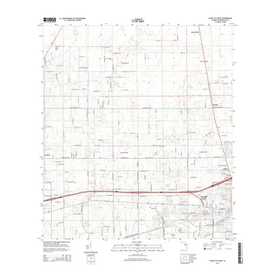
2015 Map of Plant City West
USGS Topo · Published 2015About this map
Plant City and its surrounding rural corridors define the landscape of this mid-2010s survey, showing a complex network of agriculture and suburban expansion. The western edges of the city are visible, featuring the Plant City Airport and established local landmarks like Oaklawn Cem. Beyond the city limits, the map traces a series of smaller residential clusters and older named locales such as Moriczville, Knights, and Shilow, which reveal the historical footprint of Hillsborough County's development.
Find a feature on this map
166 named features on this map. Tap any name to fly to it.
Don’t see what you’re looking for? This feature index may not catch every label — zoom into the map to look around manually.
Map Details
Editions of this 2015 Plant City West Map
This is the sole edition of this map. No revisions or reprints were ever made.
Other maps of this area

1921 · Tampa
USGS Topo · 1:62,500

1943 · Thonotosassa
USGS Topo · 1:24,000

1944 · Plant City
USGS Topo · 1:31,680

1944 · Mango
USGS Topo · 1:31,680

1944 · Wesley Chapel
USGS Topo · 1:31,680

1944 · Thonotosassa
USGS Topo · 1:31,680

1944 · Antioch
USGS Topo · 1:31,680

1944 · Socrum
USGS Topo · 1:31,680

1947 · Zephyrhills
USGS Topo · 1:24,000

1955 · Nichols
USGS Topo · 1:24,000