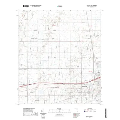
2021 Map of Plant City West
USGS Topo · Published 2021About this map
Plant City anchors the southeastern corner of this study, serving as a focal point for the region's transportation and municipal infrastructure. North and west of the city center, the landscape is defined by a network of drainage systems including Pemberton Creek and Clay Gully, which navigate a terrain marked by numerous depressions and wetlands like Cork Prairie. The transition from urbanized street grids to rural agriculture is evidenced by the numerous named rural routes such as Bruton Road and County Road 582.
Find a feature on this map
112 named features on this map. Tap any name to fly to it.
Don’t see what you’re looking for? This feature index may not catch every label — zoom into the map to look around manually.
Map Details
Editions of this 2021 Plant City West Map
This is the sole edition of this map. No revisions or reprints were ever made.
Other maps of this area

1921 · Tampa
USGS Topo · 1:62,500

1943 · Thonotosassa
USGS Topo · 1:24,000

1944 · Plant City
USGS Topo · 1:31,680

1944 · Mango
USGS Topo · 1:31,680

1944 · Wesley Chapel
USGS Topo · 1:31,680

1944 · Thonotosassa
USGS Topo · 1:31,680

1944 · Antioch
USGS Topo · 1:31,680

1944 · Socrum
USGS Topo · 1:31,680

1947 · Zephyrhills
USGS Topo · 1:24,000

1955 · Nichols
USGS Topo · 1:24,000