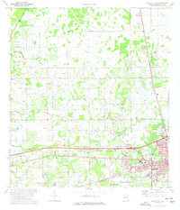
1975 Map of Plant City West
USGS Topo · Published 1977About this map
The western edges of Plant City define the landscape of this 1970s Florida survey, showing a transition from the growing urban center to the surrounding agricultural and marshy reaches of Hillsborough County. The Seaboard Coast Line railroad runs north-south through the terrain, passing through the small community of Moriczville. The eastern portion of the map is particularly dense with civic features, including Oaklawn Cemetery, the hospital, and Courier Field, illustrating the city's established infrastructure during this period.
Find a feature on this map
49 named features on this map. Tap any name to fly to it.
Don’t see what you’re looking for? This feature index may not catch every label — zoom into the map to look around manually.
Map Details
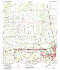
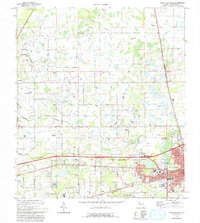
Editions of this 1975 Plant City West Map
3 editions found
Other maps of this area

1921 · Tampa
USGS Topo · 1:62,500

1943 · Thonotosassa
USGS Topo · 1:24,000

1944 · Plant City
USGS Topo · 1:31,680

1944 · Mango
USGS Topo · 1:31,680

1944 · Wesley Chapel
USGS Topo · 1:31,680

1944 · Thonotosassa
USGS Topo · 1:31,680

1944 · Antioch
USGS Topo · 1:31,680

1944 · Socrum
USGS Topo · 1:31,680

1947 · Zephyrhills
USGS Topo · 1:24,000

1955 · Nichols
USGS Topo · 1:24,000