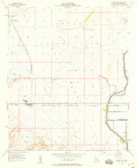
1957 Map of Plaster City
USGS Topo · Published 1958About this map
Industrial development and desert infrastructure define this 1950s landscape in Imperial County. The company town of Plaster City serves as a focal point, dominated by a large Gypsum Plant and its supporting Mining Railroad that stretches northward into the desert. To the east, the settlement of Dixieland marks the transition into an irrigated agricultural zone, where a network of water features including the Foxglove Canal, Dixie Drain, and the poetically named Forget-Me-Not Canal bring life to the arid terrain.
Find a feature on this map
27 named features on this map. Tap any name to fly to it.
Don’t see what you’re looking for? This feature index may not catch every label — zoom into the map to look around manually.
Map Details
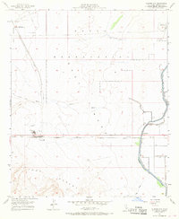
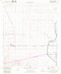
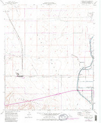
Editions of this 1957 Plaster City Map
4 editions found
Other maps of this area

1915 · El Centro
USGS Topo · 1:125,000

1940 · Brawley
USGS Topo · 1:62,500

1940 · Heber
USGS Topo · 1:62,500

1940 · Plaster City
USGS Topo · 1:62,500

1940 · Coyote Wells
USGS Topo · 1:62,500

1942 · El Centro
USGS Topo · 1:250,000

1943 · Coyote Wells
USGS Topo · 1:62,500

1943 · Heber
USGS Topo · 1:62,500

1943 · Brawley
USGS Topo · 1:62,500

1944 · Plaster City
USGS Topo · 1:62,500