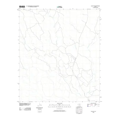
2010 Map of Plata NE
USGS Topo · Published 2010About this map
Alamito Creek defines the primary drainage of this arid West Texas landscape, cutting a path through the southern reaches of the quadrangle. The settlement of Plata serves as the focal point for human activity in this corner of Presidio County, situated near where Ranch Rd 169 provides the only significant roadway through the territory. The topography is defined by the seasonal watercourses of Matonoso Creek and Dunman Creek, which snake across the terrain to feed into the larger wash system. This survey illustrates the sparse, ranch-oriented land use pattern of the High Desert at the beginning of the twenty-first century, showing how infrastructure clings to the intermittent water sources and established ranch corridors.
Find a feature on this map
5 named features on this map. Tap any name to fly to it.
Don’t see what you’re looking for? This feature index may not catch every label — zoom into the map to look around manually.
Map Details
Editions of this 2010 Plata NE Map
This is the sole edition of this map. No revisions or reprints were ever made.
Other maps of this area

1895 · Marfa
USGS Topo · 1:125,000

1895 · Alpine
USGS Topo · 1:125,000

1896 · Shafter
USGS Topo · 1:125,000

1918 · Jordan Gap
USGS Topo · 1:62,500

1930 · Jordan Gap
USGS Topo · 1:62,500

1954 · Fort Stockton
USGS Topo · 1:250,000

1958 · Fort Stockton
USGS Topo · 1:250,000

1959 · Emory Peak
USGS Topo · 1:250,000

1959 · Presidio
USGS Topo · 1:250,000

1959 · Marfa
USGS Topo · 1:250,000