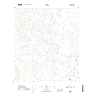
2019 Map of Plata NE
USGS Topo · Published 2019About this map
Plata sits at the southern edge of this West Texas landscape, serving as a primary point of reference in a region defined by its ephemeral drainage networks. The terrain is deeply incised by the winding courses of Dunman Creek and Matonoso Creek, which converge as they move toward the southeast. These waterways, along with Alamito Cr, dictate the movement and settlement patterns within the high desert environment. Modern access is provided by Ranch Rd 169, which traverses the eastern half of the map, following the general path of the creek beds. This 2019 survey illustrates the persistent importance of natural watercourses in shaping the infrastructure and limited ranching developments of Presidio County.
Find a feature on this map
7 named features on this map. Tap any name to fly to it.
Don’t see what you’re looking for? This feature index may not catch every label — zoom into the map to look around manually.
Map Details
Editions of this 2019 Plata NE Map
This is the sole edition of this map. No revisions or reprints were ever made.
Other maps of this area

1895 · Marfa
USGS Topo · 1:125,000

1895 · Alpine
USGS Topo · 1:125,000

1896 · Shafter
USGS Topo · 1:125,000

1918 · Jordan Gap
USGS Topo · 1:62,500

1930 · Jordan Gap
USGS Topo · 1:62,500

1954 · Fort Stockton
USGS Topo · 1:250,000

1958 · Fort Stockton
USGS Topo · 1:250,000

1959 · Emory Peak
USGS Topo · 1:250,000

1959 · Presidio
USGS Topo · 1:250,000

1959 · Marfa
USGS Topo · 1:250,000