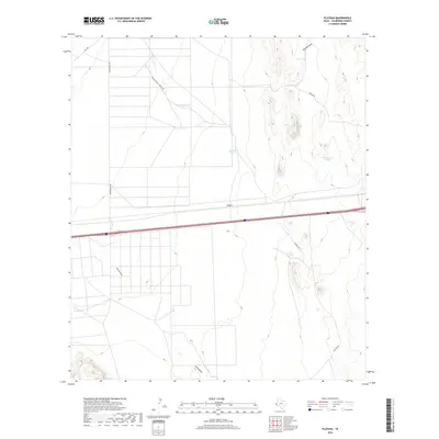
2019 Map of Plateau
USGS Topo · Published 2019About this map
Plateau serves as the focal point of this Trans-Pecos landscape, situated at the intersection of critical desert water management and transportation routes. The arid terrain is defined by a network of drainage channels including Plateau Draw, Sacaton Draw, and Michigan Draw, which dictate the placement of essential livestock infrastructure. The map reveals the strategic location of numerous water catchments such as Sandhill Tank, Plateau Tank, and Cocklebur Tank, reflecting the ranching heritage and environmental adaptations of Culberson County.
Find a feature on this map
13 named features on this map. Tap any name to fly to it.
Don’t see what you’re looking for? This feature index may not catch every label — zoom into the map to look around manually.
Map Details
Editions of this 2019 Plateau Map
This is the sole edition of this map. No revisions or reprints were ever made.
Other maps of this area

1892 · Chispa
USGS Topo · 1:125,000

1894 · Valentine
USGS Topo · 1:125,000

1895 · Chispa
USGS Topo · 1:125,000

1897 · Valentine
USGS Topo · 1:125,000

1897 · Chispa
USGS Topo · 1:125,000

1906 · Van Horn
USGS Topo · 1:125,000

1928 · Kent
USGS Topo · 1:125,000

1943 · Valentine
USGS Topo · 1:125,000

1954 · Van Horn
USGS Topo · 1:250,000

1958 · Van Horn
USGS Topo · 1:250,000