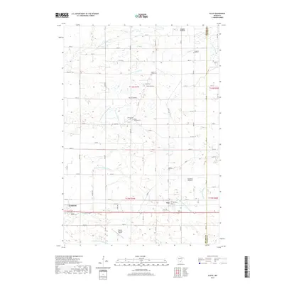
2019 Map of Plato
USGS Topo · Published 2019About this map
Plato and the eastern edge of Glencoe anchor this McLeod County landscape, where the agricultural grid is deeply intertwined with a complex system of hydraulic engineering. The terrain is defined by the South Fork Crow River and its tributaries, but the modern character of the land is shaped by an extensive network of artificial waterways including County Ditch Number Five, County Ditch Number Thirteen, and Judicial Ditch Number Eight. These drainage projects converted former wetlands, such as Brush Lakebed and Kennison Lakebed, into productive farmland.
Find a feature on this map
75 named features on this map. Tap any name to fly to it.
Don’t see what you’re looking for? This feature index may not catch every label — zoom into the map to look around manually.
Map Details
Editions of this 2019 Plato Map
This is the sole edition of this map. No revisions or reprints were ever made.
Other maps of this area

1953 · Saint Paul
USGS Topo · 1:250,000

1953 · New Ulm
USGS Topo · 1:250,000

1957 · New Ulm
USGS Topo · 1:250,000

1957 · Belle Plaine
USGS Topo · 1:62,500

1957 · Waconia
USGS Topo · 1:62,500

1958 · New Ulm
USGS Topo · 1:250,000

1958 · Gaylord
USGS Topo · 1:62,500

1958 · Glencoe
USGS Topo · 1:62,500

1959 · Saint Paul
USGS Topo · 1:250,000

1967 · New Ulm
USGS Topo · 1:250,000