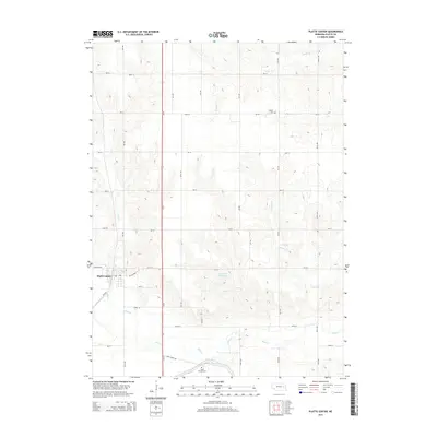
2014 Map of Platte Center
USGS Topo · Published 2014About this map
Platte Center serves as the primary hub in this portion of Platte County, positioned at the intersection of Central Hwy and the Ne-71b-Spur. The surrounding landscape is defined by the drainage networks of Shell Cr and its tributaries, including Elm Cr and Schaad Cr, which carve through the agricultural plains. Significant water management is evident in the southern reaches where the Loup River Canal cuts across the terrain, and the Goedeken Reservoir provides a localized catchment north of the creek beds.
Find a feature on this map
28 named features on this map. Tap any name to fly to it.
Don’t see what you’re looking for? This feature index may not catch every label — zoom into the map to look around manually.
Map Details
Editions of this 2014 Platte Center Map
This is the sole edition of this map. No revisions or reprints were ever made.
Other maps of this area

1896 · Stromsburg
USGS Topo · 1:125,000

1899 · David City
USGS Topo · 1:125,000

1955 · Fremont
USGS Topo · 1:250,000

1957 · Fremont
USGS Topo · 1:250,000

1958 · Fremont
USGS Topo · 1:250,000

1958 · Monroe
USGS Topo · 1:24,000

1958 · Duncan
USGS Topo · 1:24,000

1958 · Columbus
USGS Topo · 1:24,000

1966 · Tarnov
USGS Topo · 1:24,000

1966 · Platte Center
USGS Topo · 1:24,000