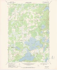
1968 Map of Platte Lake
USGS Topo · Published 1970About this map
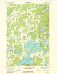
Platte Lake and the connected Sullivan Lake dominate this central Minnesota landscape, where the waters of Daggett Brook and the Platte River flow through a complex of wetlands and smaller basins. The small settlement of Pine Center stands as a focal point in the northeast, while the southern reaches near Lakeview show the intersection of local community life at Lakeview Cem. The 1960s terrain is characterized by numerous Gravel Pits, indicating the local extractive industry that shaped the land alongside traditional rural hallmarks like Emmanuel Ch and Holy Family Ch. The map provides detailed bathymetry for the primary lakes, offering a clear view of underwater topography that would have been essential for local recreation and conservation efforts during this period.
Find a feature on this map
28 named features on this map. Tap any name to fly to it.
Don’t see what you’re looking for? This feature index may not catch every label — zoom into the map to look around manually.
Map Details
Editions of this 1968 Platte Lake Map
2 editions found
Other maps of this area

1912 · Deerwood
USGS Topo · 1:62,500

1914 · Deerwood
USGS Topo · 1:62,500

1915 · Brainerd
USGS Topo · 1:62,500

1918 · Brainerd
USGS Topo · 1:62,500

1948 · Lastrup
USGS Topo · 1:62,500

1950 · Lastrup
USGS Topo · 1:62,500

1953 · Duluth
USGS Topo · 1:250,000

1953 · Brainerd
USGS Topo · 1:250,000

1957 · Brainerd
USGS Topo · 1:250,000

1958 · Brainerd
USGS Topo · 1:250,000