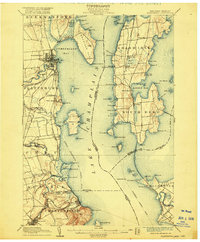
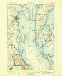
1906 Map of Plattsburg
USGS Topo · Published 1916About this map
The Saranac River flows into Lake Champlain at Plattsburg, anchoring a coastal landscape defined by early 20th-century transportation and military presence. This survey, conducted in the 1890s, captures the importance of the Plattsburg Barracks and the Delaware and Hudson Railroad as they served the western shore. Across the water on Grand Isle, the Rutland Railroad traces a path through Grand Isle Sta. and Pearl, connecting the island communities to the mainland via the Sand Bar Bridge.
Find a feature on this map
114 named features on this map. Tap any name to fly to it.
Don’t see what you’re looking for? This feature index may not catch every label — zoom into the map to look around manually.
Map Details
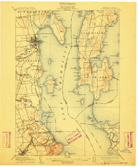
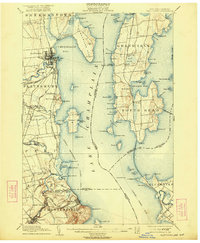
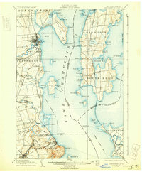
Editions of this 1906 Plattsburg Map
6 editions found
Other maps of this area

1894 · Plattsburg
USGS Topo · 1:62,500

1895 · Mooers
USGS Topo · 1:62,500

1895 · Rouse Point
USGS Topo · 1:62,500

1895 · Willsboro
USGS Topo · 1:62,500

1895 · Ausable
USGS Topo · 1:62,500

1899 · Mooers
USGS Topo · 1:62,500

1903 · Ausable
USGS Topo · 1:62,500

1906 · Plattsburg
USGS Topo · 1:62,500

1906 · Burlington
USGS Topo · 1:62,500

1907 · Rouse Point
USGS Topo · 1:62,500