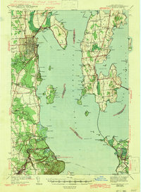
1943 Map of Plattsburg
USGS Topo · Published 1943About this map
Plattsburg serves as the focal point for this 1939 survey of the northern Champlain Lake region, where the industrial and military activity of the New York shore meets the pastoral islands of Vermont. The map reveals the intricate shoreline geography of Cumberland Head and the strategic positioning of Valcour Island, long known for its naval history. Coastal navigation is guided by landmarks like Cumberland Head L H and Valcour L H, while the interior shows the Rutland railroad line connecting the islands.
Find a feature on this map
108 named features on this map. Tap any name to fly to it.
Don’t see what you’re looking for? This feature index may not catch every label — zoom into the map to look around manually.
Map Details
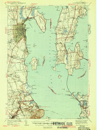
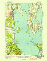
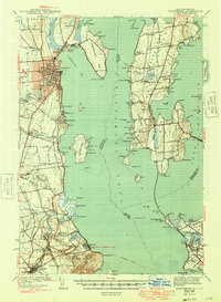
Editions of this 1943 Plattsburg Map
4 editions found
Other maps of this area

1894 · Plattsburg
USGS Topo · 1:62,500

1895 · Mooers
USGS Topo · 1:62,500

1895 · Rouse Point
USGS Topo · 1:62,500

1895 · Willsboro
USGS Topo · 1:62,500

1895 · Ausable
USGS Topo · 1:62,500

1899 · Mooers
USGS Topo · 1:62,500

1903 · Ausable
USGS Topo · 1:62,500

1906 · Plattsburg
USGS Topo · 1:62,500

1906 · Burlington
USGS Topo · 1:62,500

1907 · Rouse Point
USGS Topo · 1:62,500