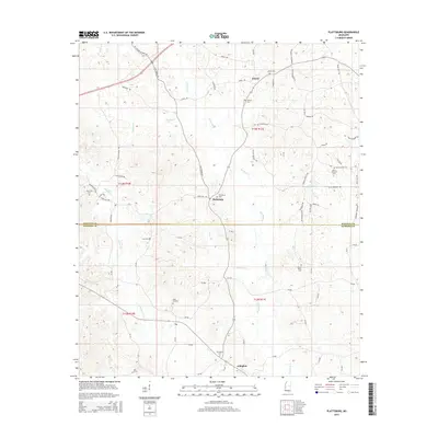
2015 Map of Plattsburg
USGS Topo · Published 2015About this map
Pinishook Cr and its tributaries carve a network through the timbered hills of this rural region on the border of Winston and Neshoba counties. The settlement of Plattsburg serves as a central hub, situated along the namesake Plattsburg Rd where local life revolves around dispersed family farms and small community centers. To the north, the village of Liberty is anchored by the Antioch Cem, while Arlington marks the southern reach of the survey area.
Find a feature on this map
74 named features on this map. Tap any name to fly to it.
Don’t see what you’re looking for? This feature index may not catch every label — zoom into the map to look around manually.
Map Details
Editions of this 2015 Plattsburg Map
This is the sole edition of this map. No revisions or reprints were ever made.
Other maps of this area

1953 · Meridian
USGS Topo · 1:250,000

1953 · West Point
USGS Topo · 1:250,000

1957 · Meridian
USGS Topo · 1:250,000

1958 · West Point
USGS Topo · 1:250,000

1962 · Edinburg
USGS Topo · 1:62,500

1963 · West Point
USGS Topo · 1:250,000

1965 · Meridian
USGS Topo · 1:250,000

1972 · Pearl River
USGS Topo · 1:24,000

1972 · Plattsburg
USGS Topo · 1:24,000
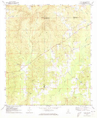
1972 · Ethel SE
USGS Topo · 1:24,000