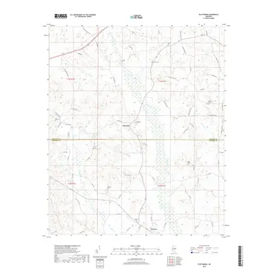
2018 Map of Plattsburg
USGS Topo · Published 2018About this map
Plattsburg and Arlington serve as the primary anchors of this rural landscape, situated along the county line between Winston Co and Neshoba Co. The territory is defined by a dense network of creek systems including Pinishook Cr, Alumpa Cr, and Jofuska Cr, which carve through the land alongside smaller tributaries like Mimes Br and Bear Cr. This hydrography has historically dictated the placement of homesteads and the winding paths of roads like Plattsburg Rd and Elijah Graham Rd.
Find a feature on this map
71 named features on this map. Tap any name to fly to it.
Don’t see what you’re looking for? This feature index may not catch every label — zoom into the map to look around manually.
Map Details
Editions of this 2018 Plattsburg Map
This is the sole edition of this map. No revisions or reprints were ever made.
Other maps of this area

1953 · Meridian
USGS Topo · 1:250,000

1953 · West Point
USGS Topo · 1:250,000

1957 · Meridian
USGS Topo · 1:250,000

1958 · West Point
USGS Topo · 1:250,000

1962 · Edinburg
USGS Topo · 1:62,500

1963 · West Point
USGS Topo · 1:250,000

1965 · Meridian
USGS Topo · 1:250,000

1972 · Pearl River
USGS Topo · 1:24,000

1972 · Plattsburg
USGS Topo · 1:24,000
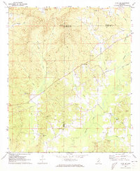
1972 · Ethel SE
USGS Topo · 1:24,000