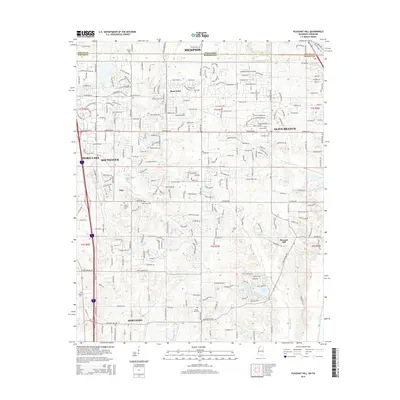
2015 Map of Pleasant Hill
USGS Topo · Published 2015About this map
Southaven and Olive Branch define the suburban transition across the Tennessee Mississippi border in this 2015 study. The landscape is characterized by a dense network of residential developments and industrial corridors extending south from Memphis into DeSoto County. Genealogists and local historians can find numerous burial sites that predate the modern expansion, including Phoenix Cem and New Hope Cem, alongside smaller communities like Plum Point and Jago. Waterways such as Nolehoe Cr and Horn Lake Cr thread through the developments, leading toward recreational features like Sunset Lake and Sunrise Lake in the southern portion of the quadrangle. The map also documents aviation history with the Double O Ranch Airport located north of Olive Branch.
Find a feature on this map
150 named features on this map. Tap any name to fly to it.
Don’t see what you’re looking for? This feature index may not catch every label — zoom into the map to look around manually.
Map Details
Editions of this 2015 Pleasant Hill Map
This is the sole edition of this map. No revisions or reprints were ever made.
Other maps of this area

1916 · Memphis
USGS Topo · 1:62,500

1925 · Memphis
USGS Topo · 1:48,000

1927 · Memphis
USGS Topo · 1:62,500

1932 · Horn Lake
USGS Topo · 1:48,000

1935 · Horn Lake
USGS Topo · 1:62,500

1939 · Memphis
USGS Topo · 1:62,500

1944 · Hernando
USGS Topo · 1:62,500

1948 · Helena
USGS Topo · 1:250,000

1950 · Helena
USGS Topo · 1:250,000

1953 · Memphis
USGS Topo · 1:250,000