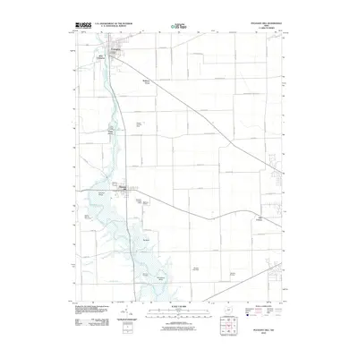
2010 Map of Pleasant Hill
USGS Topo · Published 2010About this map
The Stillwater River carves a winding path through this western Ohio landscape, anchoring a series of communities from Covington and West Covington in the north to Pleasant Hill further south. The river’s distinctive geography is marked by the Big Bend and Horseshoe Bend, where the Old Union Cemetery sits on the western bank. This era shows a mix of agricultural heritage and modern aviation, with several private flight facilities including the Adams Landing Strip, Bashore Airport, and Leavelle Airstrip dotting the rural sections between townships.
Find a feature on this map
72 named features on this map. Tap any name to fly to it.
Don’t see what you’re looking for? This feature index may not catch every label — zoom into the map to look around manually.
Map Details
Editions of this 2010 Pleasant Hill Map
This is the sole edition of this map. No revisions or reprints were ever made.
Other maps of this area

1904 · Dayton
USGS Topo · 1:62,500

1905 · Brookville
USGS Topo · 1:62,500

1906 · Dayton
USGS Topo · 1:62,500

1911 · Covington
USGS Topo · 1:62,500

1914 · Troy
USGS Topo · 1:62,500

1944 · Covington
USGS Topo · 1:62,500

1944 · Troy
USGS Topo · 1:62,500

1953 · Cincinnati
USGS Topo · 1:250,000

1953 · Muncie
USGS Topo · 1:250,000

1955 · West Milton
USGS Topo · 1:24,000