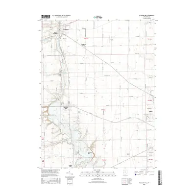
2016 Map of Pleasant Hill
USGS Topo · Published 2016About this map
The Stillwater River drainage basin defines the geography of this portion of Miami County, where the river carves distinct geological features such as Big Bend and Horseshoe Bend. The settlement pattern is anchored by the village of Covington in the northwest and Pleasant Hill centrally, connected by the corridor of N State Rte 48. Smaller hamlets like Mulberry Grove and Sugar Grove dot the landscape, often associated with local landmarks such as Sugar Grove Cem.
Find a feature on this map
145 named features on this map. Tap any name to fly to it.
Don’t see what you’re looking for? This feature index may not catch every label — zoom into the map to look around manually.
Map Details
Editions of this 2016 Pleasant Hill Map
This is the sole edition of this map. No revisions or reprints were ever made.
Other maps of this area

1904 · Dayton
USGS Topo · 1:62,500

1905 · Brookville
USGS Topo · 1:62,500

1906 · Dayton
USGS Topo · 1:62,500

1911 · Covington
USGS Topo · 1:62,500

1914 · Troy
USGS Topo · 1:62,500

1944 · Covington
USGS Topo · 1:62,500

1944 · Troy
USGS Topo · 1:62,500

1953 · Cincinnati
USGS Topo · 1:250,000

1953 · Muncie
USGS Topo · 1:250,000

1955 · West Milton
USGS Topo · 1:24,000