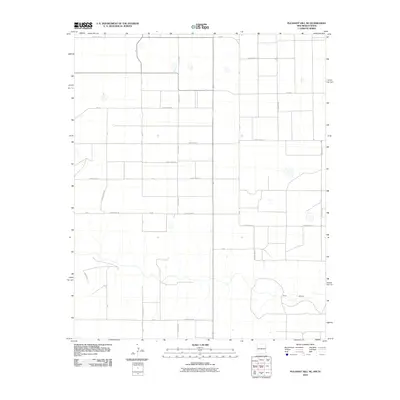
2010 Map of Pleasant Hill NE
USGS Topo · Published 2010About this map
Frio Draw meanders across the southern portion of this high plains landscape, defining the primary drainage for an area otherwise dominated by a rigid network of agricultural roads. The transition from the flat, cultivated uplands to the subtle relief of the draw reflects the characteristic topography of the Llano Estacado. A systematic grid of thoroughfares, including Curry Road 32 and Curry Road 26, provides access to the vast agricultural plots that form the backbone of the local economy. In the northeast, the presence of FM-2013 and various county routes like County Road A indicates the infrastructure required to connect these isolated rural holdings. This 2010 survey documents the enduring spatial organization of the New Mexico-Texas borderlands, where land use is dictated by the geography of the plains and the necessity of water management along natural features like Frio Draw.
Find a feature on this map
30 named features on this map. Tap any name to fly to it.
Don’t see what you’re looking for? This feature index may not catch every label — zoom into the map to look around manually.
Map Details
Editions of this 2010 Pleasant Hill NE Map
This is the sole edition of this map. No revisions or reprints were ever made.
Other maps of this area

1954 · Clovis
USGS Topo · 1:250,000

1957 · Pleasant Hill
USGS Topo · 1:62,500

1958 · Clovis
USGS Topo · 1:250,000

1965 · Bovina
USGS Topo · 1:24,000

1965 · Rhea
USGS Topo · 1:24,000

1971 · Garcia Lake
USGS Topo · 1:24,000

1971 · Broadview
USGS Topo · 1:24,000

1971 · Bellview
USGS Topo · 1:24,000

1985 · Pleasant Hill NW
USGS Topo · 1:24,000

1985 · Pleasant Hill
USGS Topo · 1:24,000