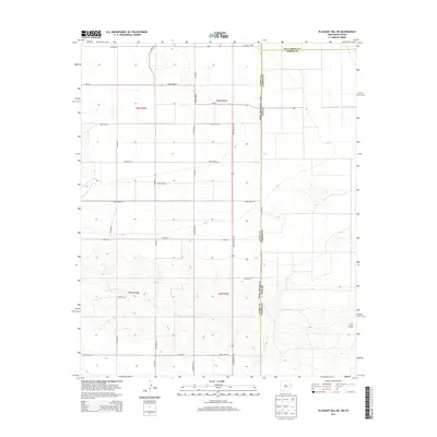
2013 Map of Pleasant Hill NE
USGS Topo · Published 2013About this map
Frio Draw carves a distinctive path through the southeastern corner of this High Plains landscape on the border of New Mexico and Texas. This 2013 survey illustrates a highly structured agricultural and ranching environment defined by a rigid grid of section lines and county roads. The interstate boundary between New Mexico and Texas is a prominent vertical divide, separating Curry County from Parmer County. The road network, including State Route 108 and Nm-19, provides the primary framework for the area's movement and land division. Unlike more densely populated regions, this map shows a landscape dominated by the geometry of the Public Land Survey System, with townships like t6n r37e and t5n r36e organizing the terrain into precise squares for grazing and cultivation.
Find a feature on this map
27 named features on this map. Tap any name to fly to it.
Don’t see what you’re looking for? This feature index may not catch every label — zoom into the map to look around manually.
Map Details
Editions of this 2013 Pleasant Hill NE Map
This is the sole edition of this map. No revisions or reprints were ever made.
Other maps of this area

1954 · Clovis
USGS Topo · 1:250,000

1957 · Pleasant Hill
USGS Topo · 1:62,500

1958 · Clovis
USGS Topo · 1:250,000

1965 · Bovina
USGS Topo · 1:24,000

1965 · Rhea
USGS Topo · 1:24,000

1971 · Garcia Lake
USGS Topo · 1:24,000

1971 · Broadview
USGS Topo · 1:24,000

1971 · Bellview
USGS Topo · 1:24,000

1985 · Pleasant Hill NW
USGS Topo · 1:24,000

1985 · Pleasant Hill
USGS Topo · 1:24,000